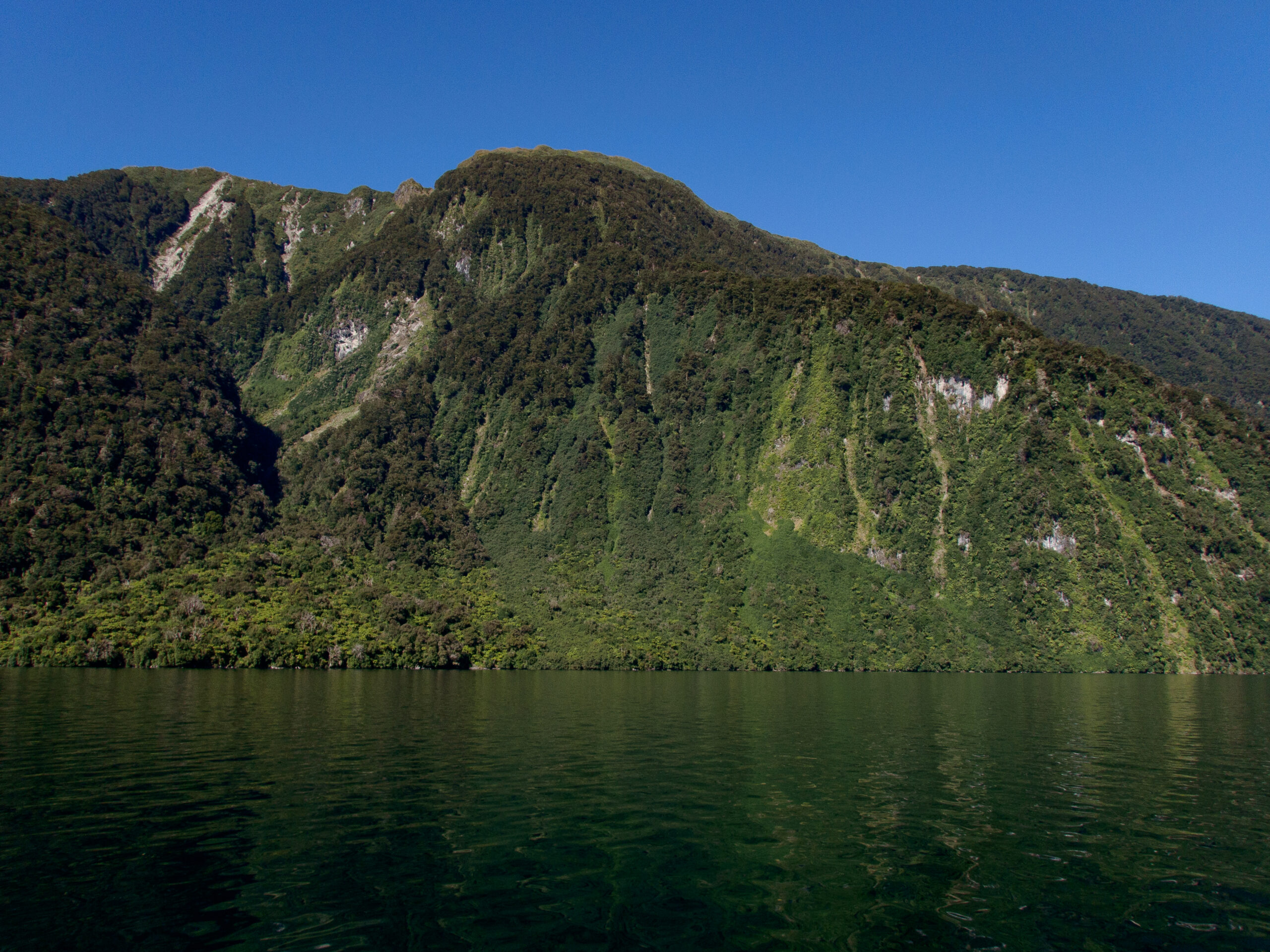
Dusky is the longest and most extensive fiord in Fiordland at nearly 24 miles in length. Named ‘Dusky’ after Captain Cook’s evening sail by in 1770, and ‘Tamatea’ after the renown Māori explorer who spent much time there. He’s also known for the coining the longest name of a place near Hawke’s Bay ‘Taumatawhakatangihangakoauauotamateaturipukakapikimaungahoronukupokaiwhenuakitanatahu,’ so I’m glad I didn’t have to work that into our logbook! ~DS
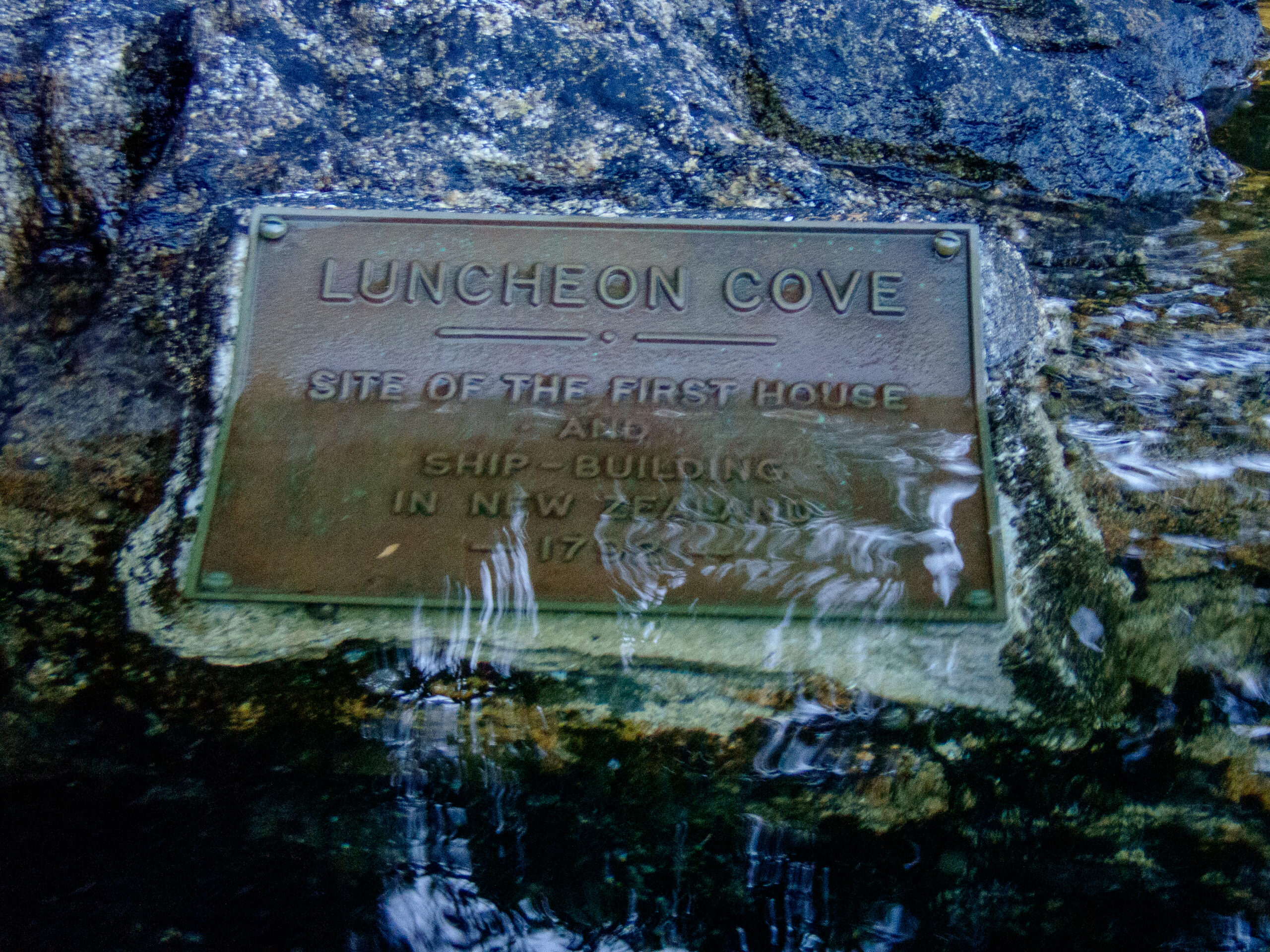
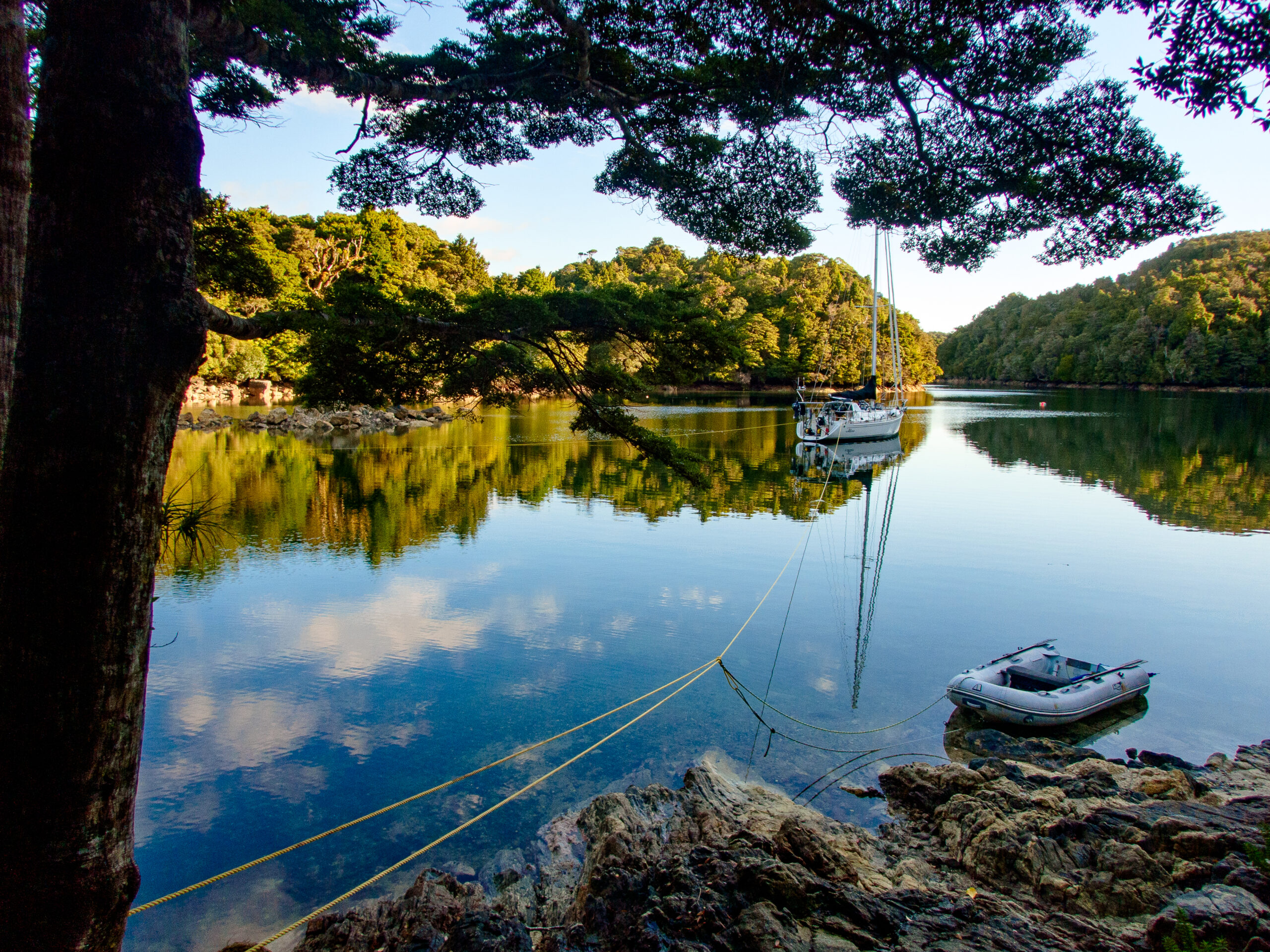
Inner Luncheon Cove on Anchor Island, Dusky Sound
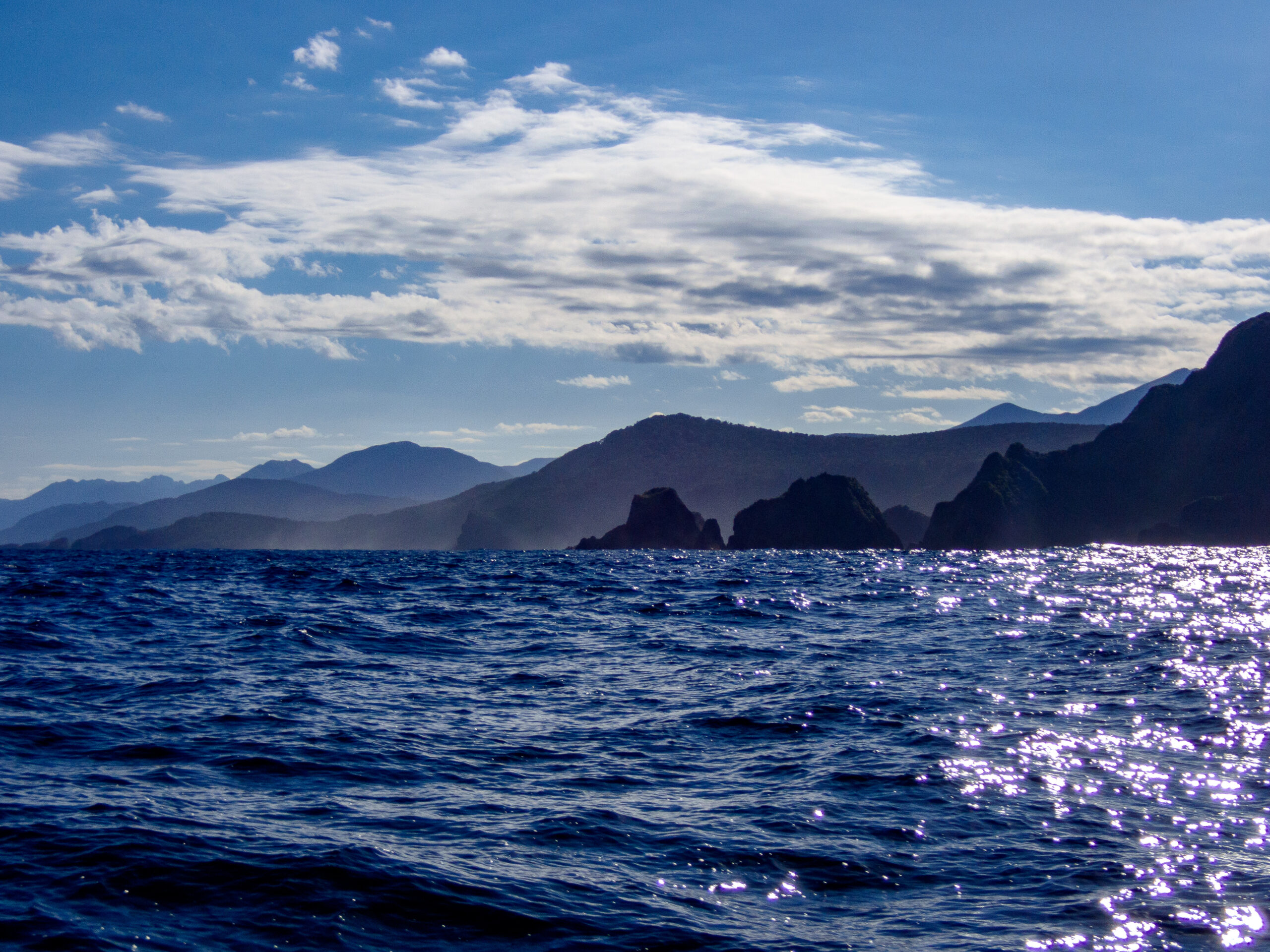
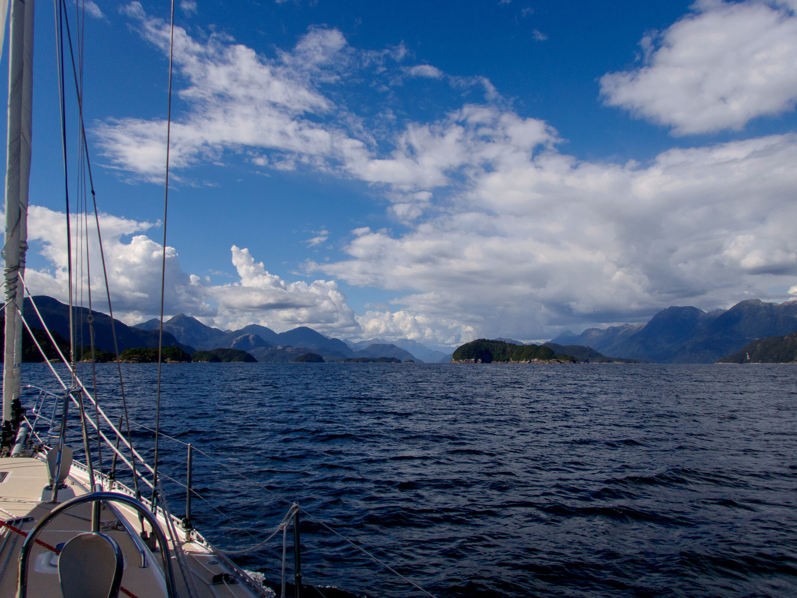
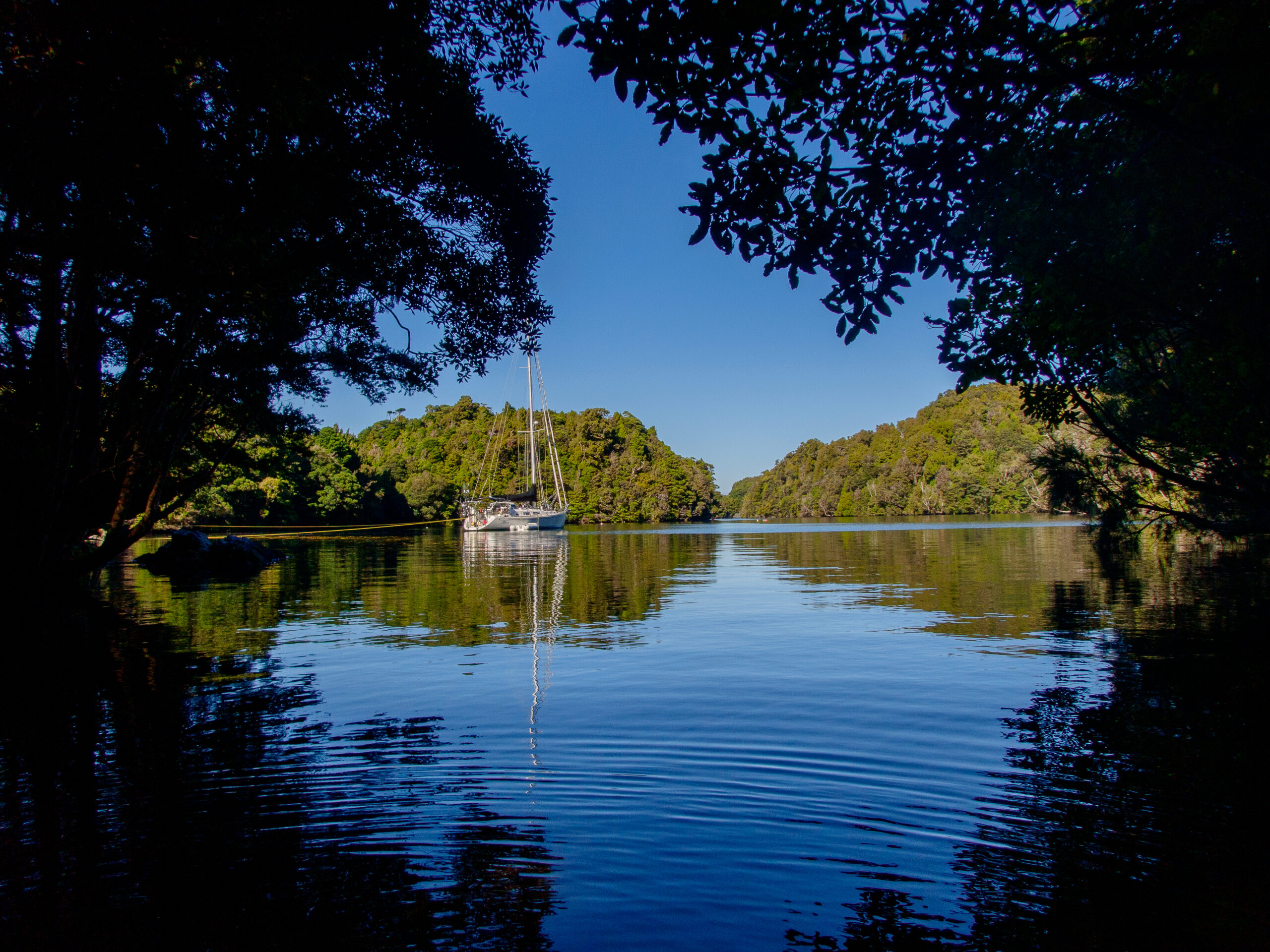
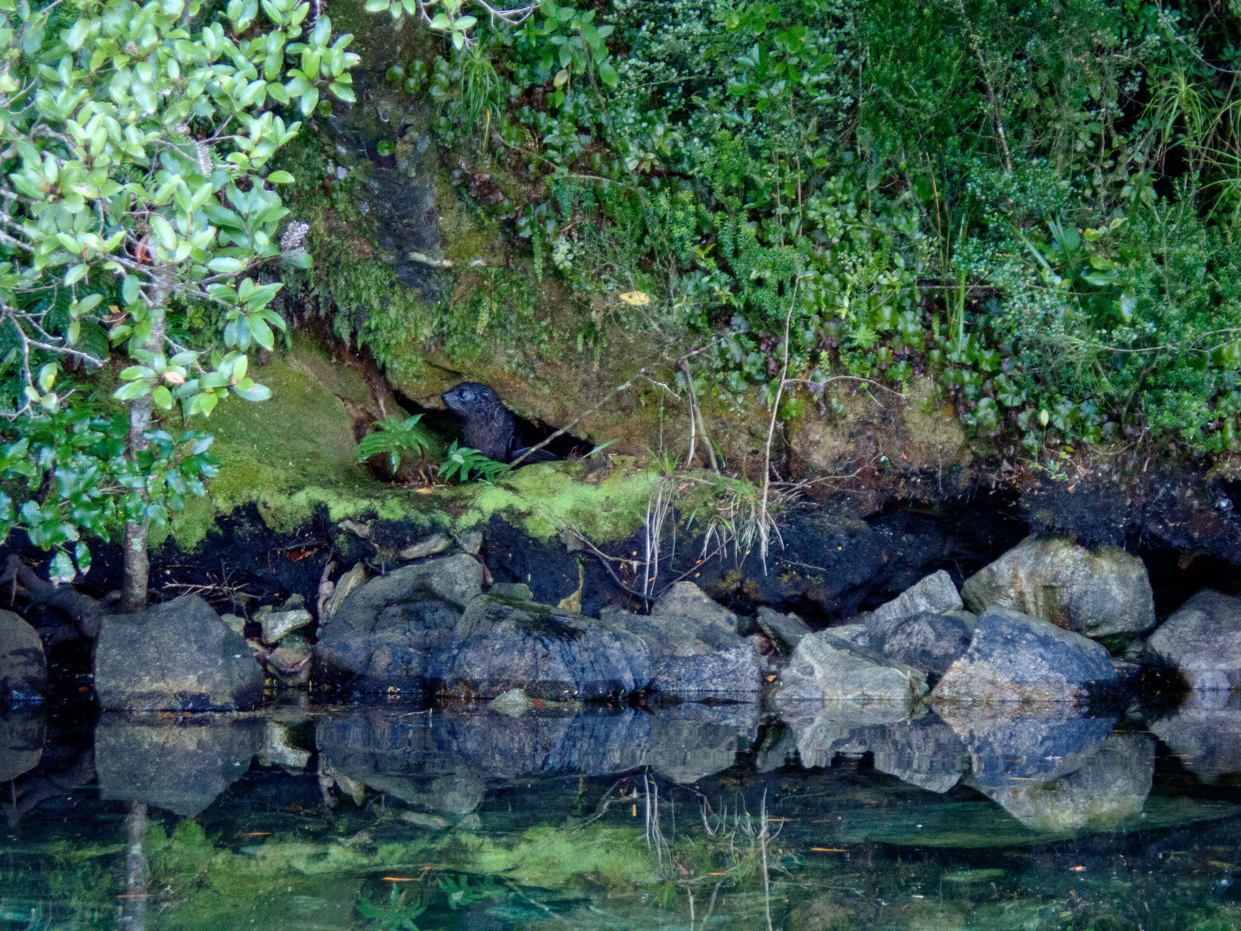
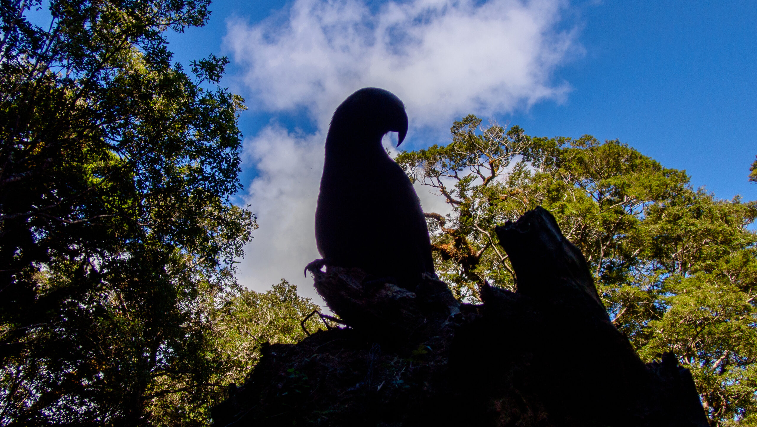
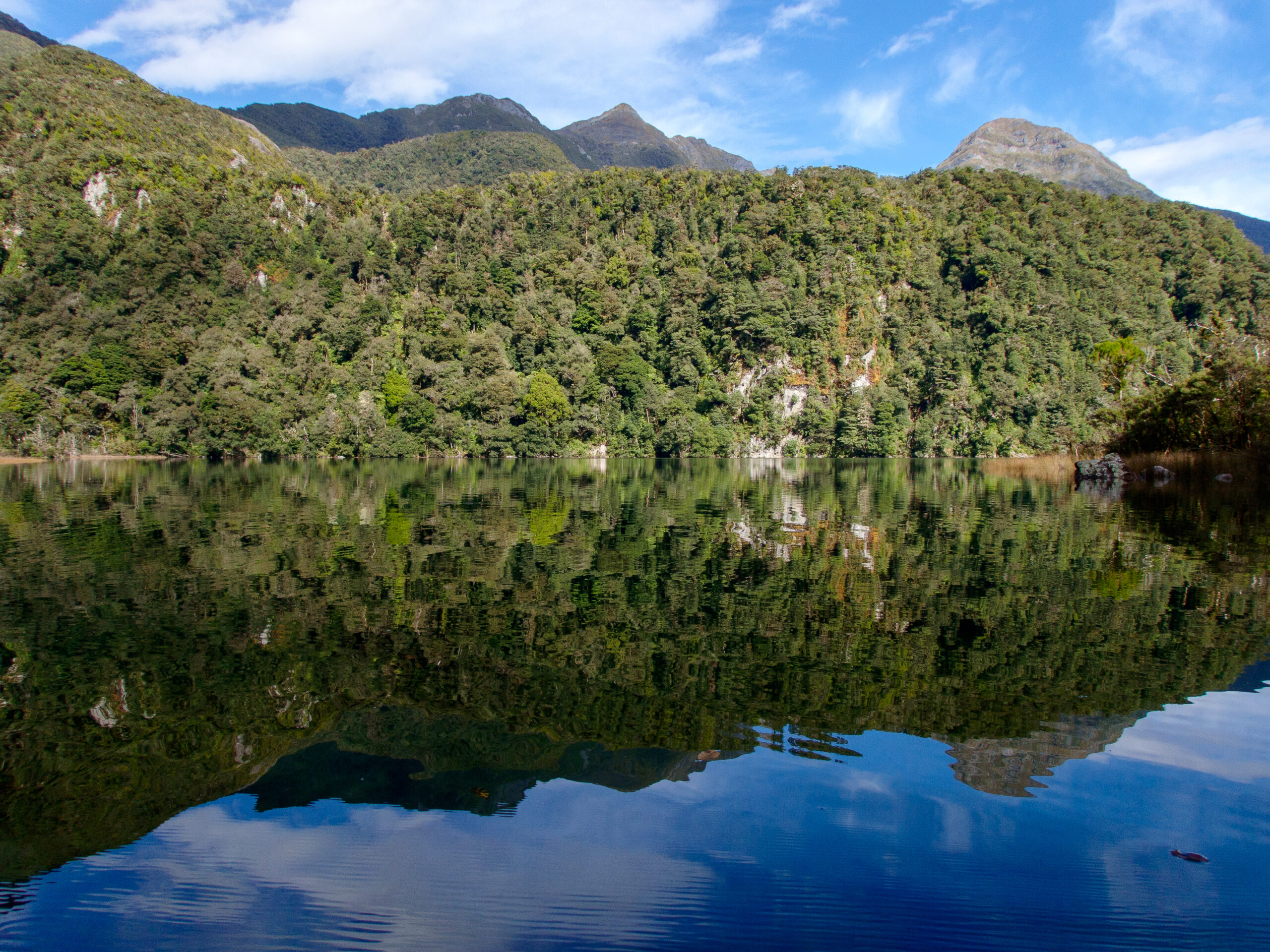
We are anchored in an 18th century naturalist’s illustration. The Kākā, subtly colored parrots, russet and carmine, gray and mossy green, chatter in mobs back and forth. Fur seals and their pups bawl and rumble along the densely wooded shore, draped on rocks, sunning just out of the vivid green tide, or hidden mysteriously in the forest. Rays and Broadnose Sevengill sharks patrol the shallows. Bellbirds chime and Wood Pigeons dive and soar in mating displays, wind whirring in their wings. The water is supernaturally still after the tumult and breaking swell of Broke Adrift Passage, and the long motor up the easing blue Pacific around Cape Providence. The scale of the world is abruptly more intimate. Captain Cook dined on crayfish here in 1773. He left behind a recipe for brewing beer from the bark of Rimu trees, molasses and yeast. The island is also predator free, and refuge to the rare ground parrot, the Kākāpō, once thought to be extinct – rediscovered in Port Pegasus, Stewart Island by Rodney Russ, a sailor/explorer we met in Christchurch.
A chance to sit on the bow and meditate outside, to the constant music of birds, “Here and now boys, here and now.”
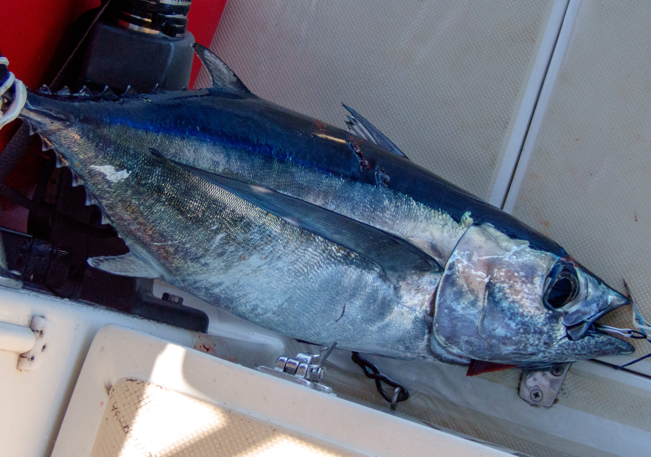
The dearth of sandflies and still air made for a pleasant barbecue, cooking up fillets of the Albacore tuna we caught on our way into Dusky.
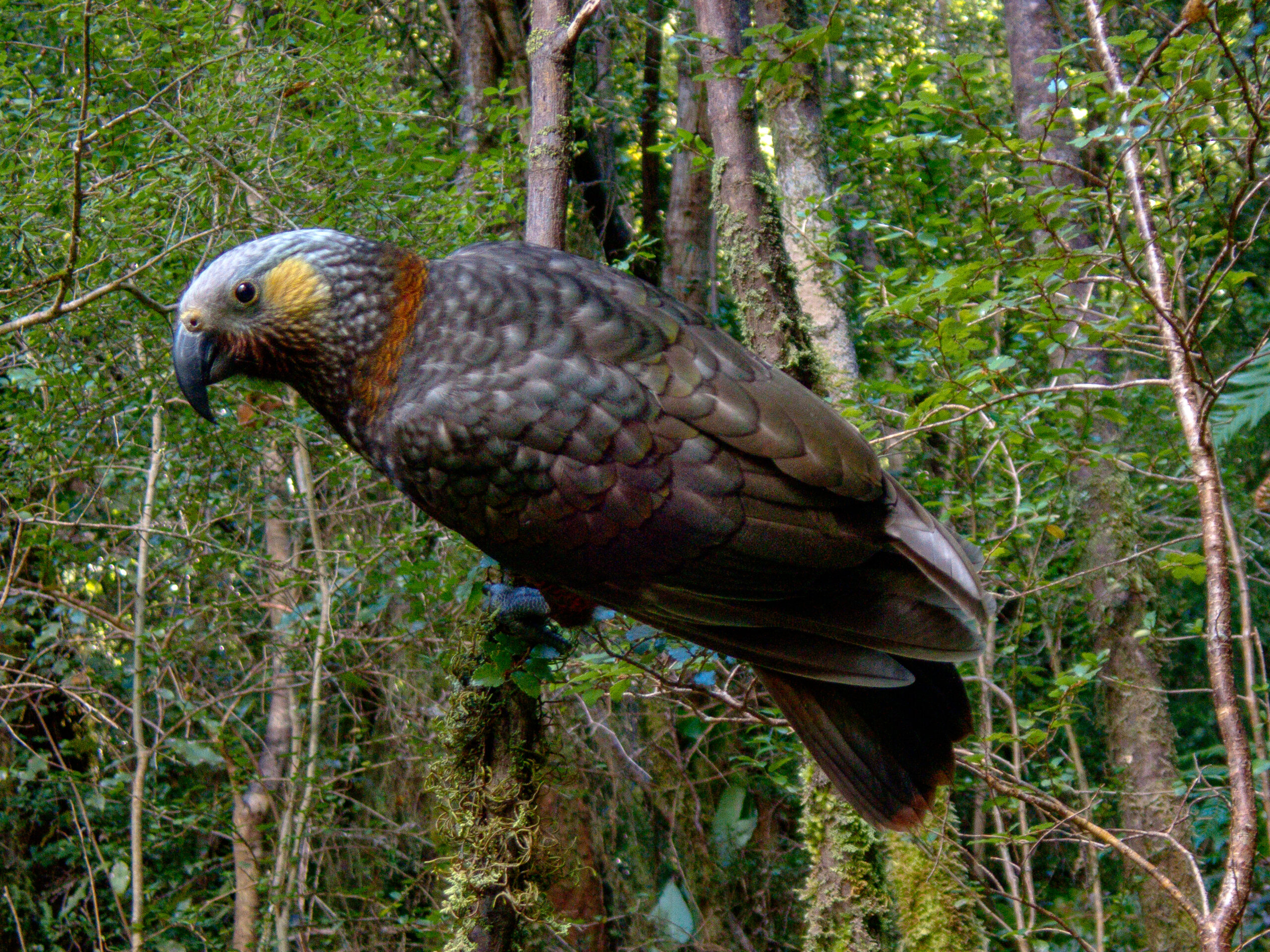
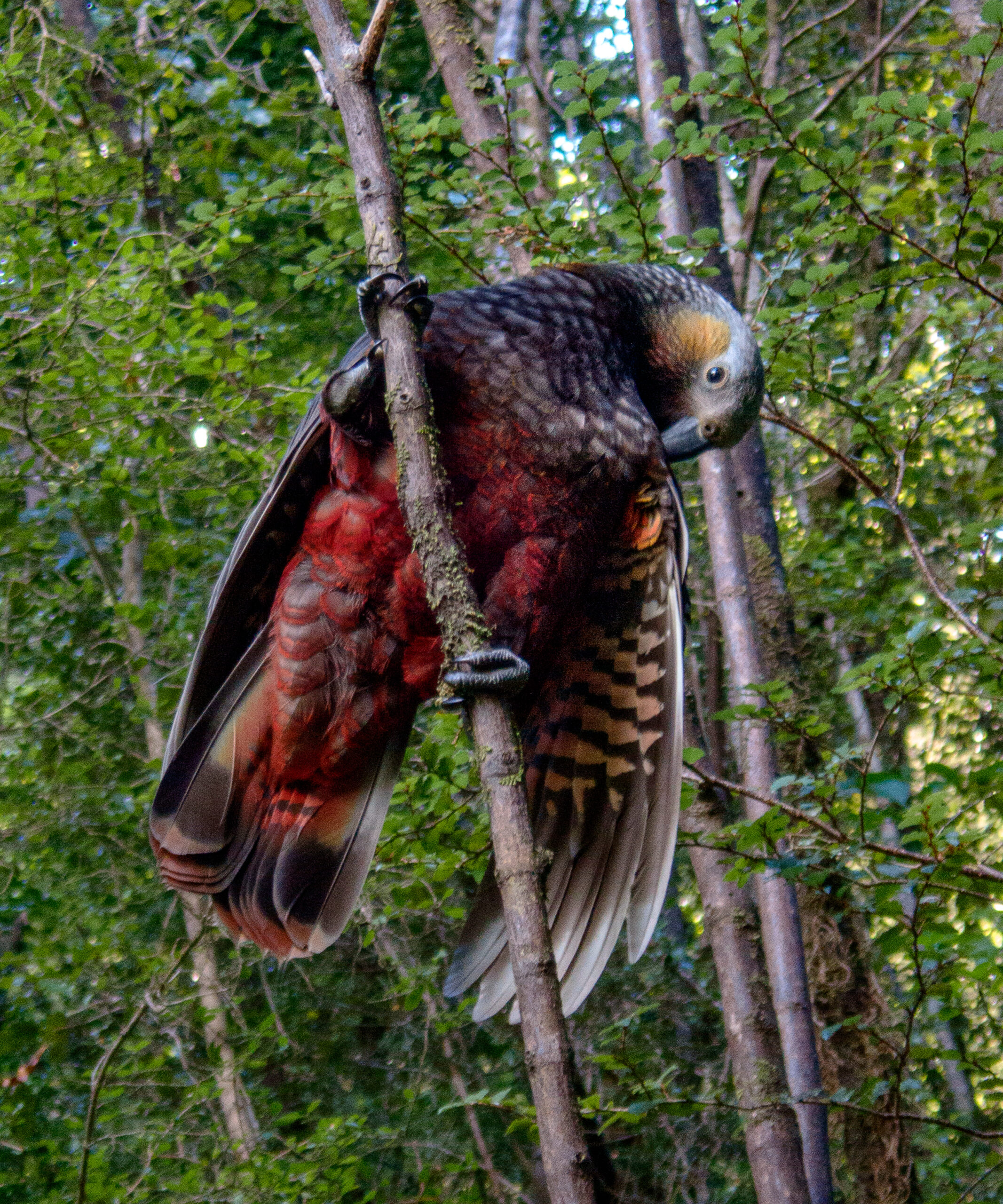
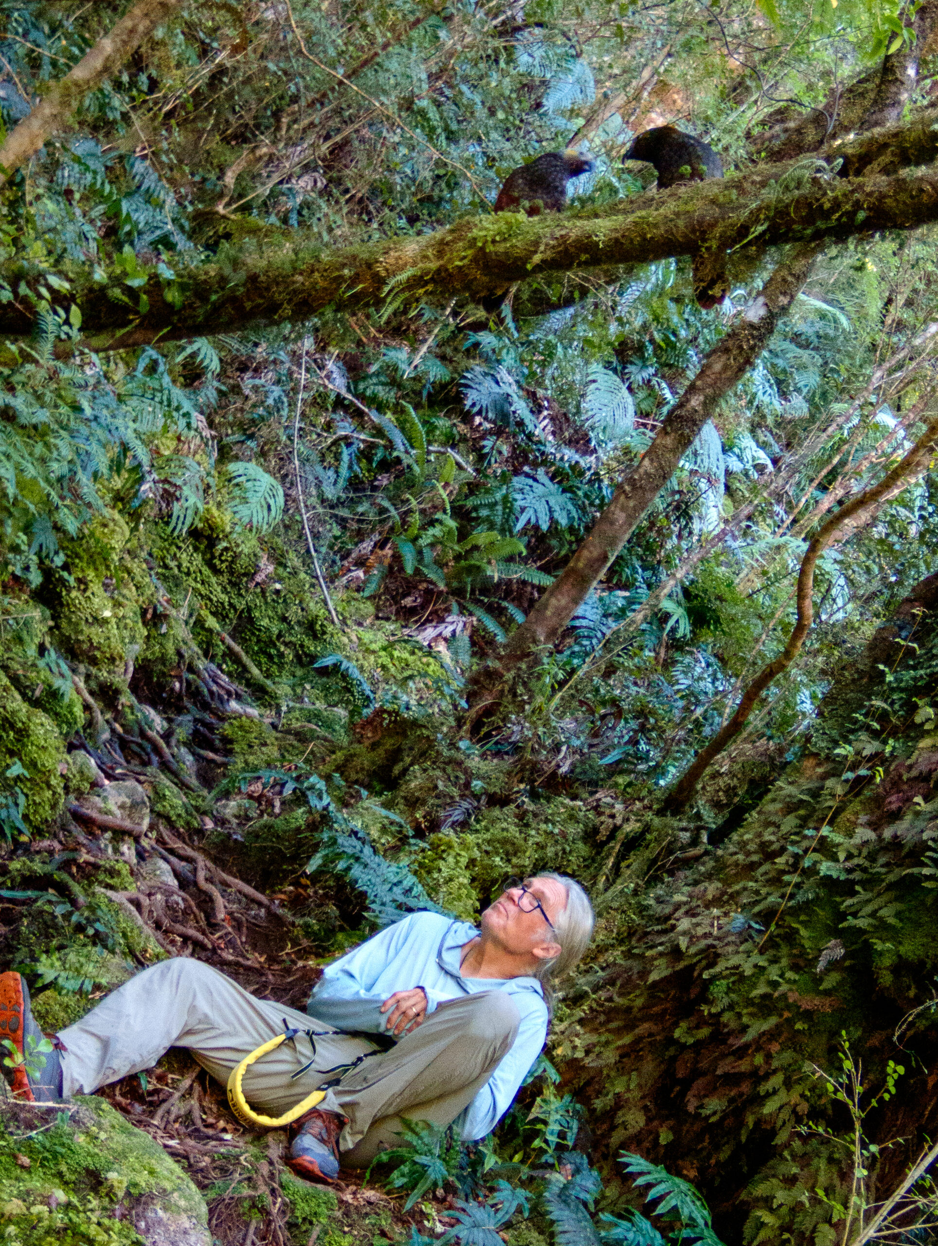
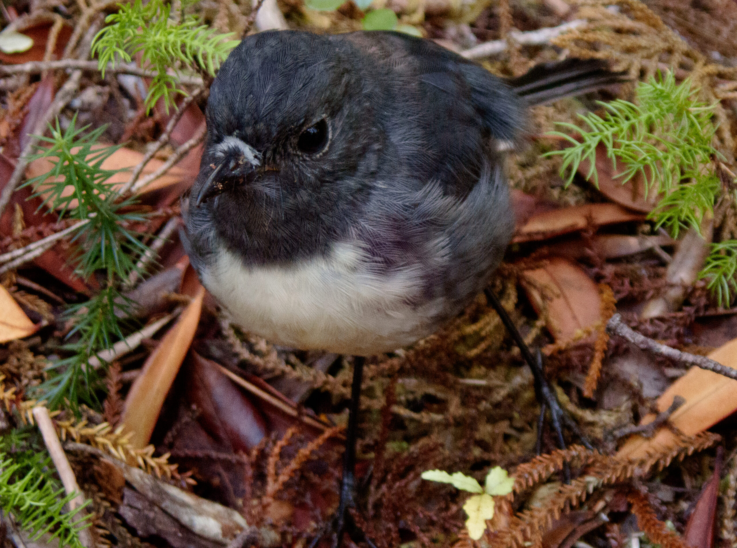
The trails on Anchor Island are named and well marked, though oddly, do not seem to clearly indicate which of the many paths lead to the lake (just a kilometer or two away). We weren’t very far along the “wrong” trail when a mob of Kaka settled noisly into the trees over our heads. We sat still and waited and they ventured closer and closer, sailing back and forth, gnawing at the branches with their strong beaks and then landed a few feet away, turning their heads upside down for a curious closer look. A South Island Robin/Kakaruai (re-introduced in 2002) also hopped over to say hello, as they do, finally summoning the courage to peck at the bottom of my shoe. ~MS
Fanny Cove, Dusky Sound
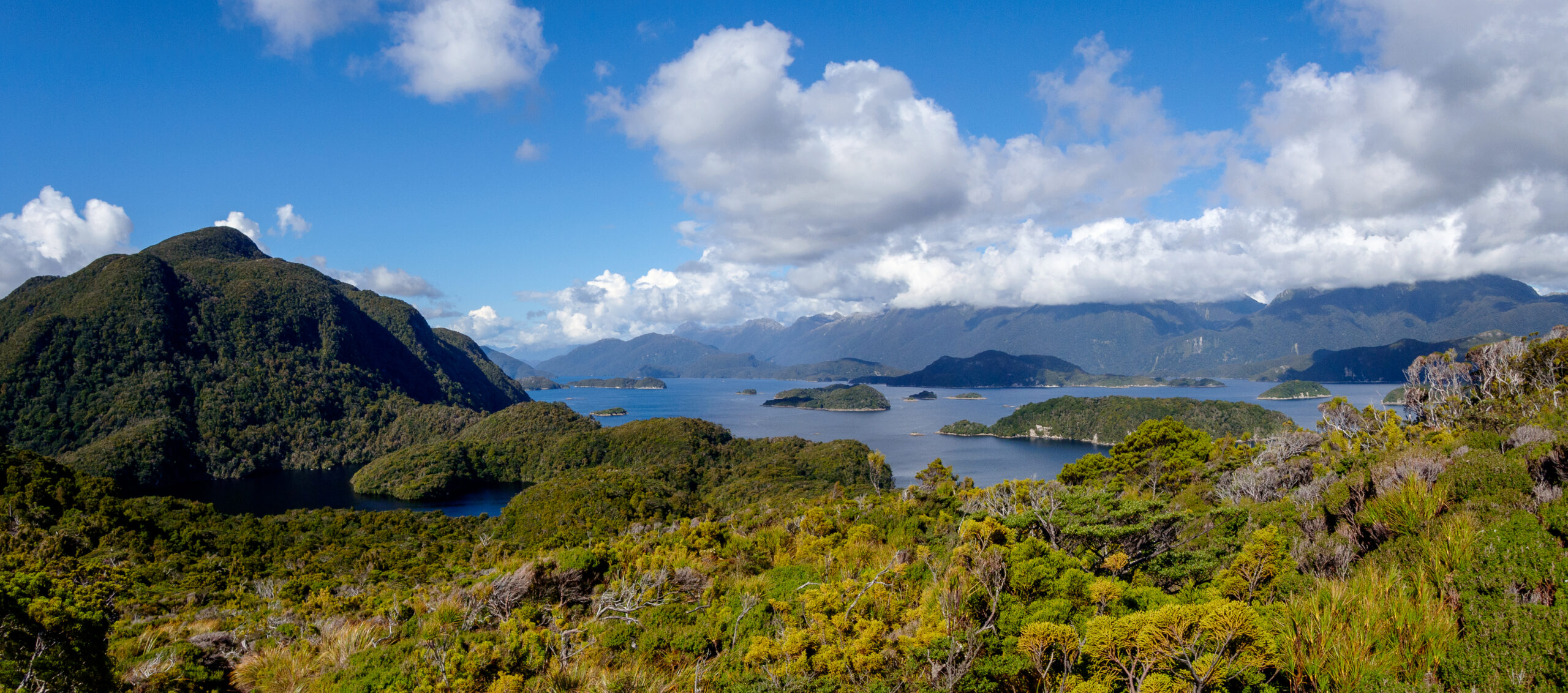
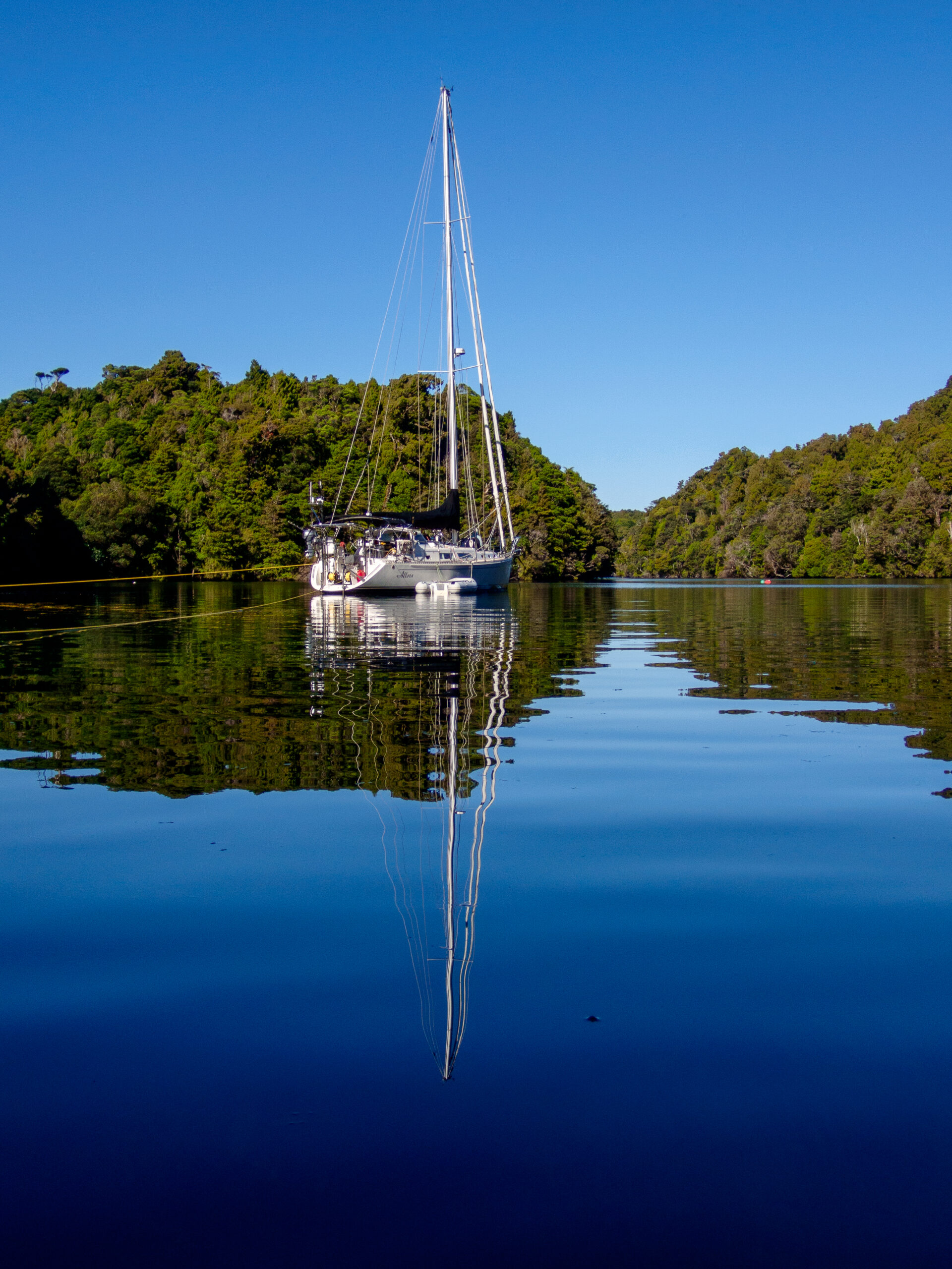
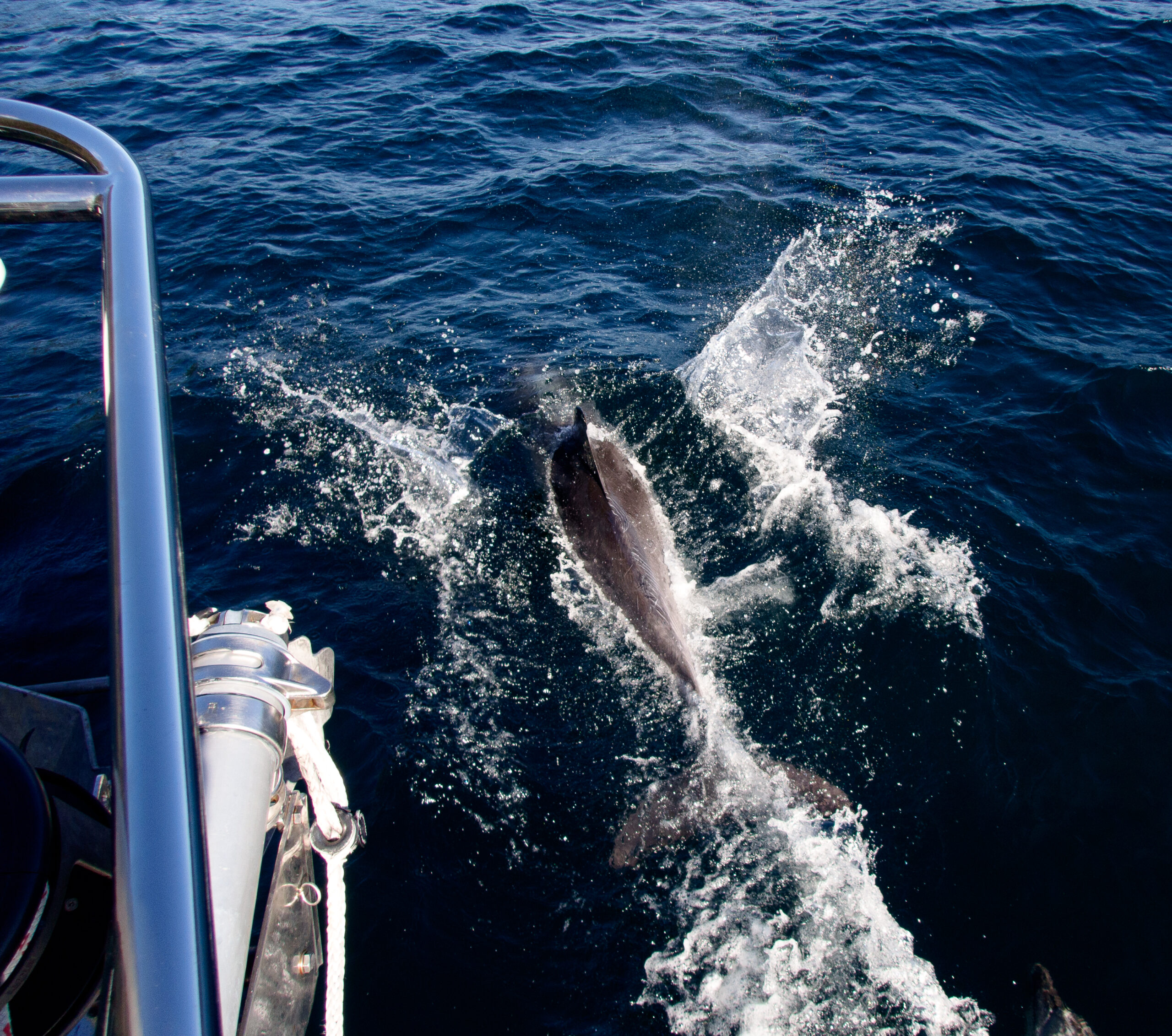
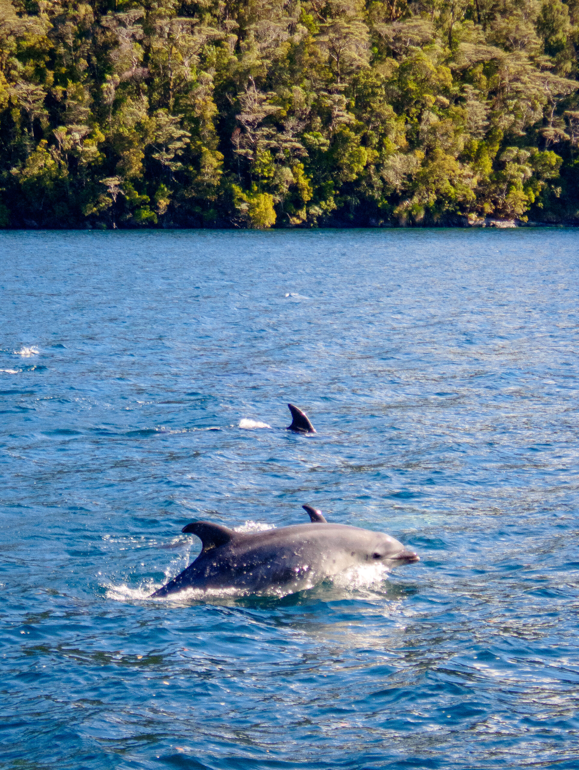
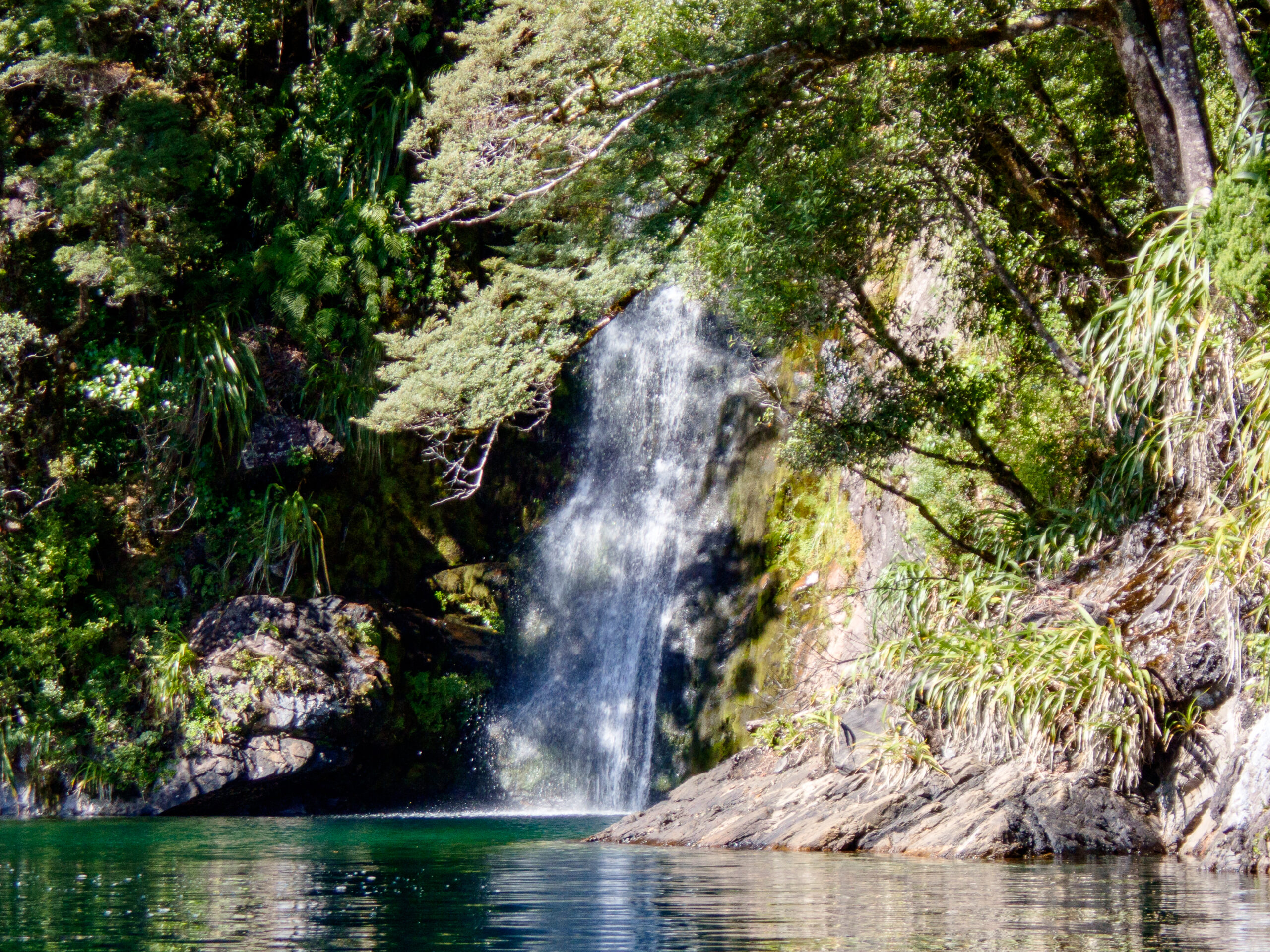
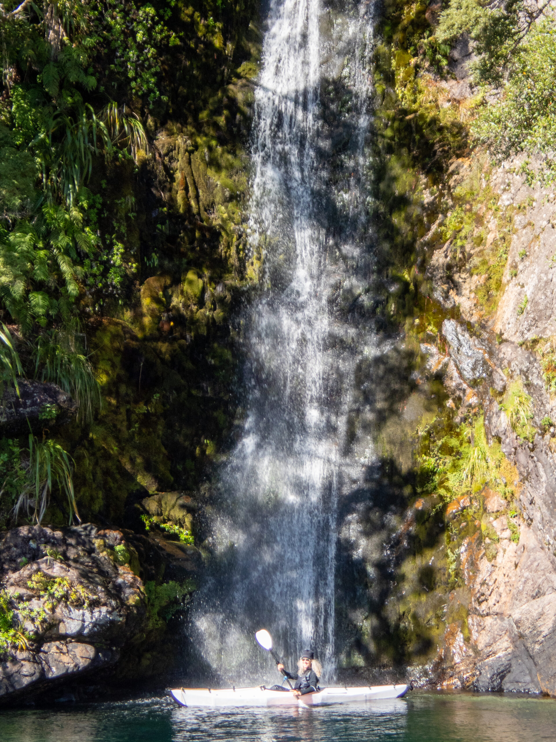
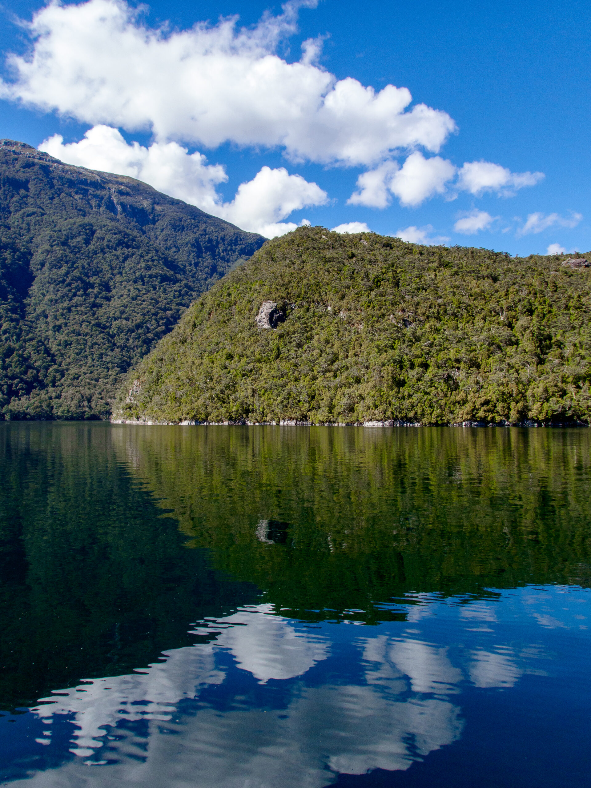
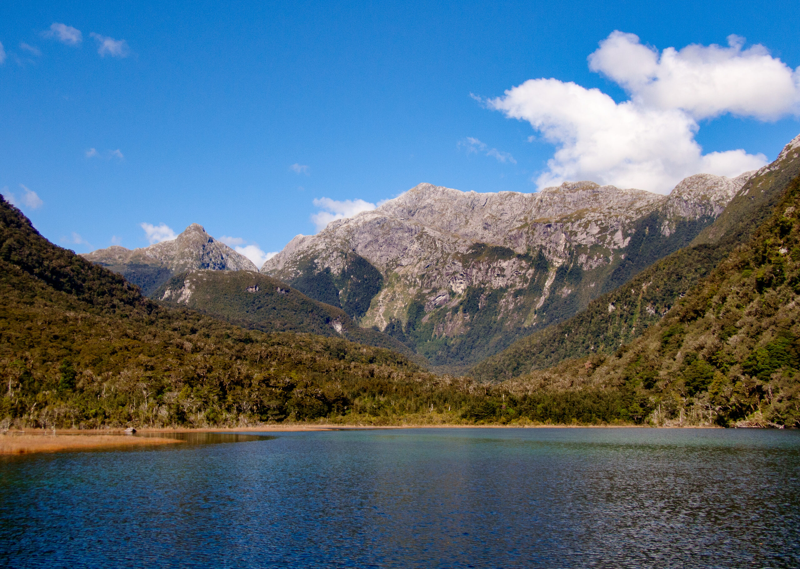
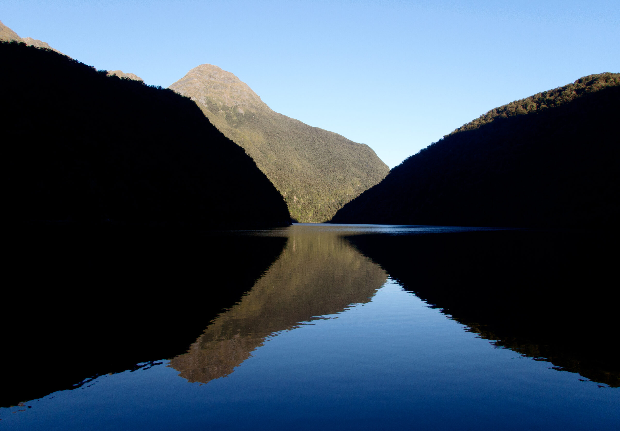
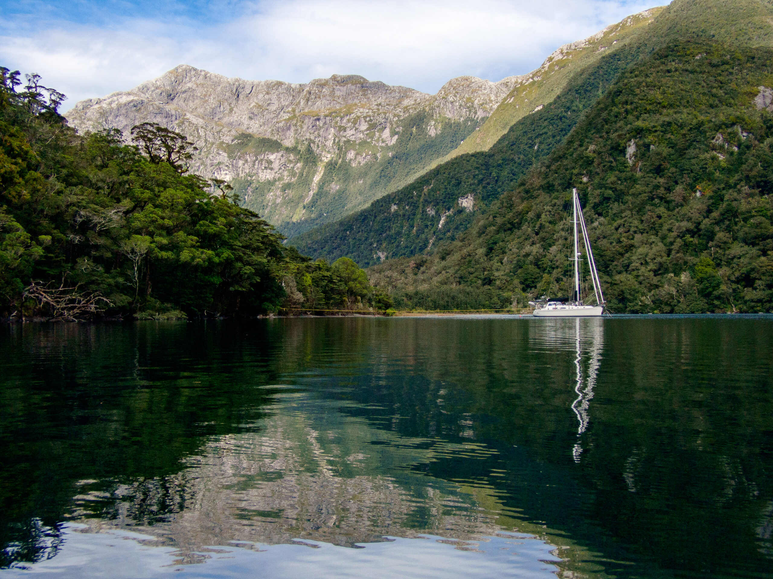
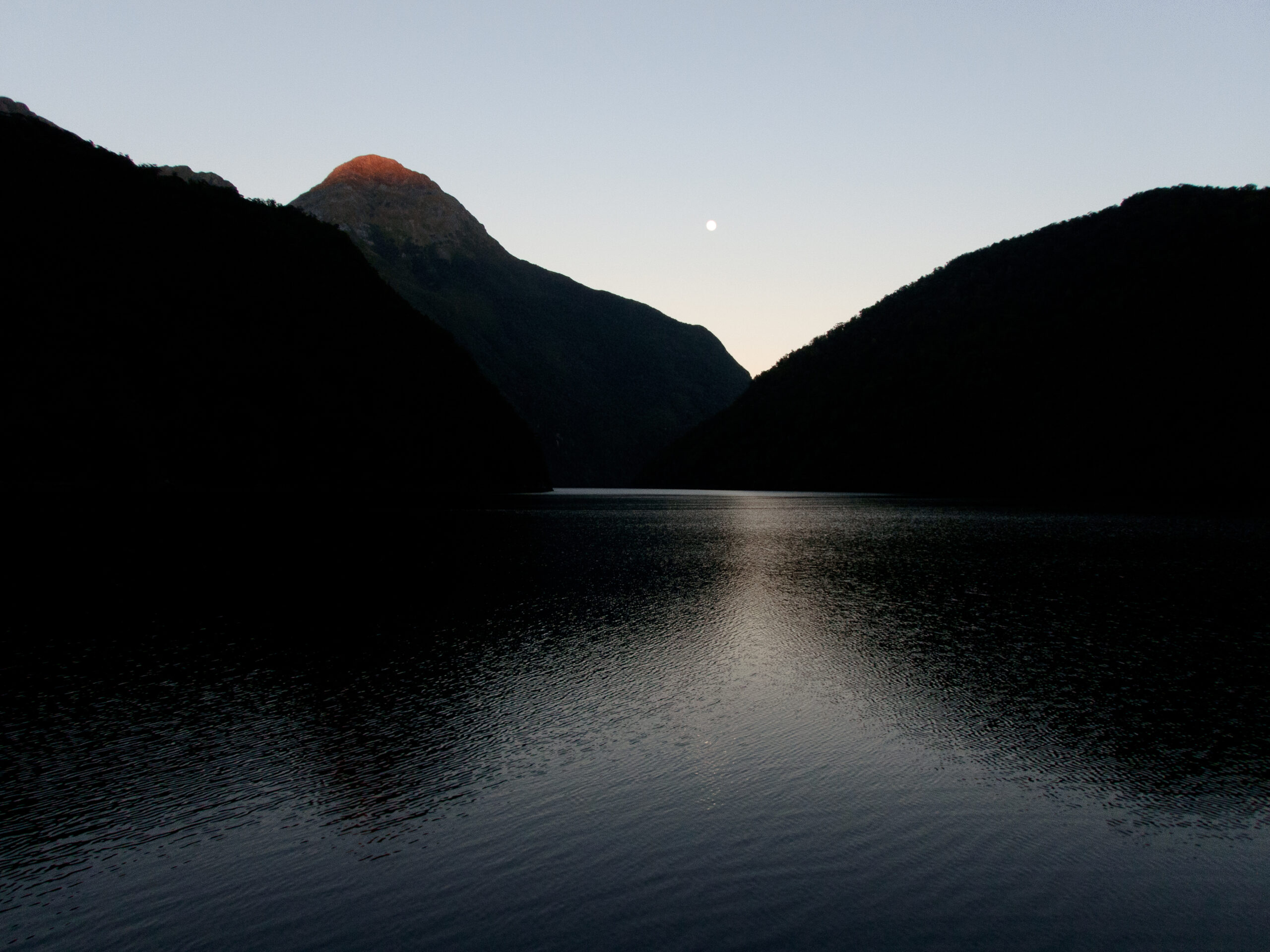
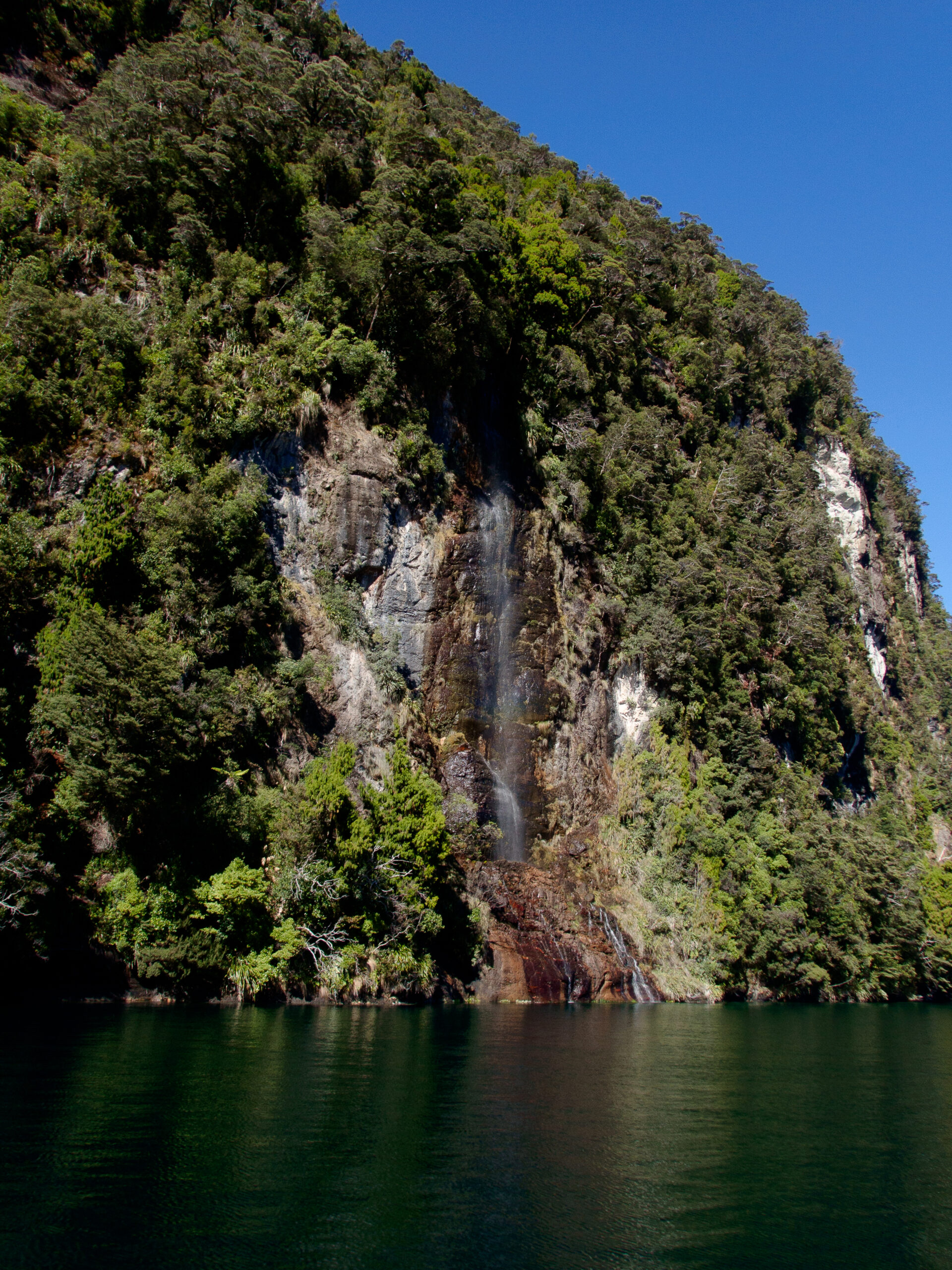
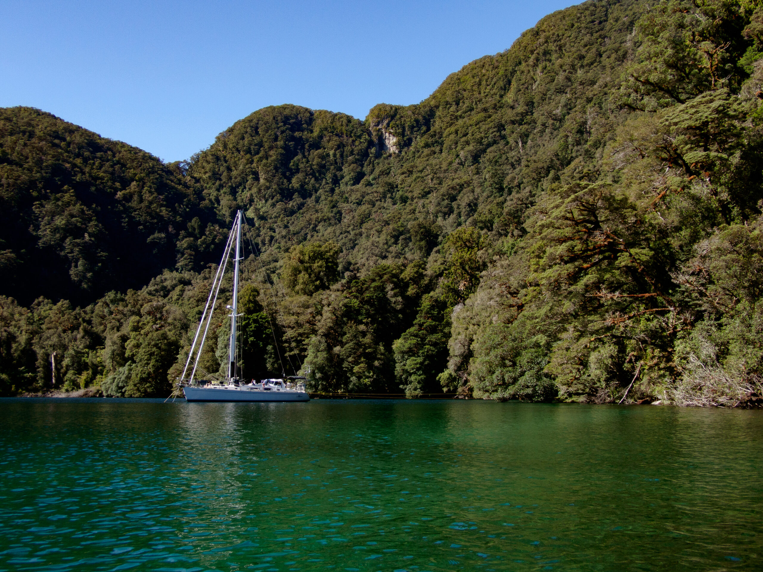
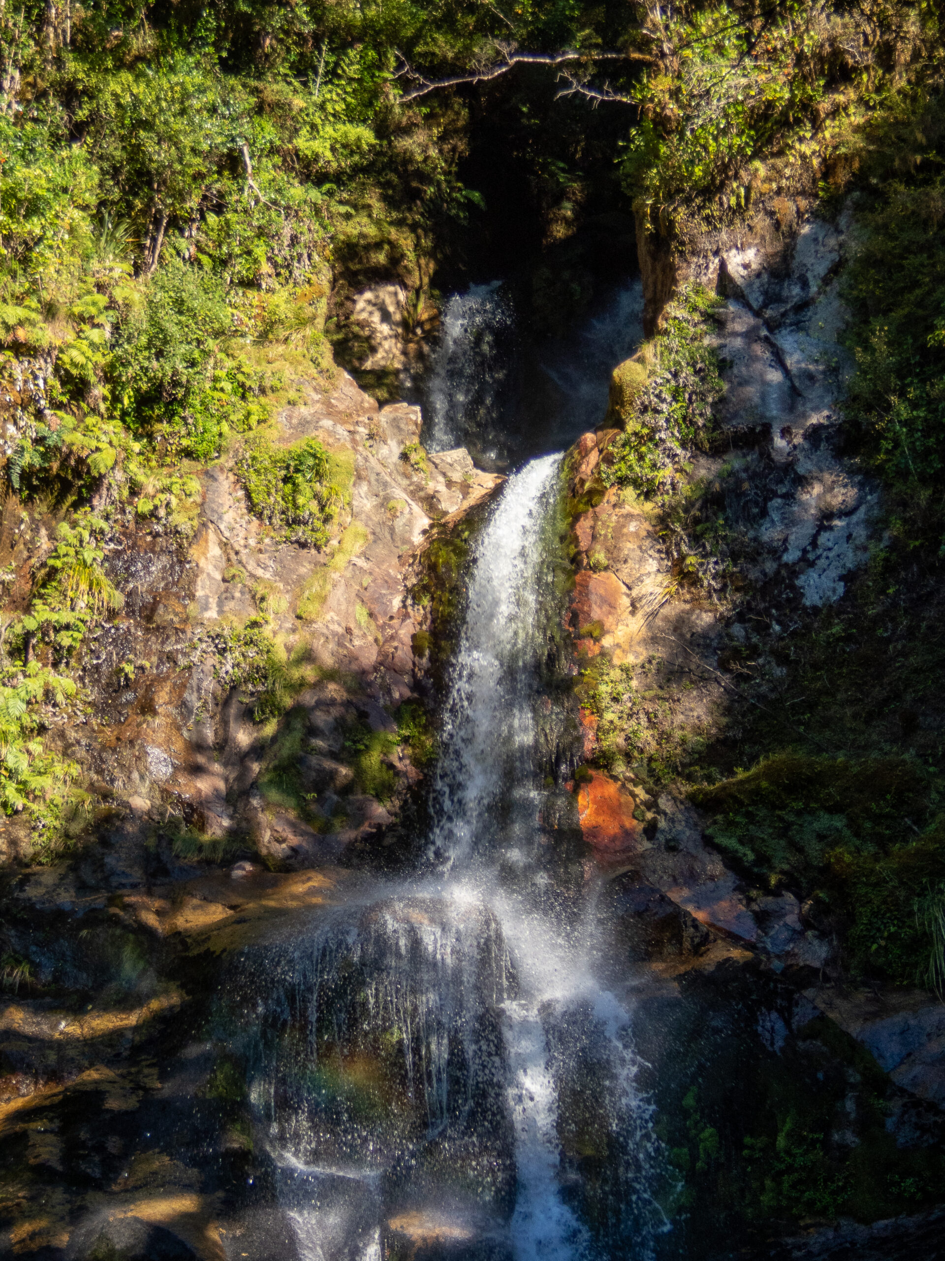
It was still when we arrived after the move from Anchor Island. Along the way we enjoyed the company of some of Dusky Sound’s residence Bottlenose dolphins, and stopped for a closer look at a waterfall, a hundred feet of depth under Allora’s keel a boat length or less from shore. We ate some bread that Diana pulled from the oven just as we entered the broad cove and thought about our plan for anchoring. The forecast was for twenty-five to thirty knots of northerly on the outside (a little less than the full Pusygar gale which prevails three hundred days out of a year), but all the models showed much less fifteen miles inland form the open sea. Still with the wind and williwas, we didn’t really know what we might get. The dramatic cove with the huge granite wall of Perpendicular Peak at the head is much bigger than in looks on the chart. The opposite of intimate Luncheon cove. We dropped in 60 feet of water and laid out all of our 100 meters of chain at a shallow angle along the shoreline, still sitting in thirty feet of water but with rocky shallows close by. Our first line would not really hold us off, and we ran a second as the wind came up and it was clear that the topography of cove seemed to twist the north wind with just a hint of west in it to solid west, coming at Allora from the port side and pushing us toward shore. The cove is big enough for a reasonable bit of fetch too, but the water on the east side is just too deep. Already worn out from setting the first two lines we debated putting out a second anchor from our midships cleat, but we worried about dealing with picking it back up if things got rough and we hand to move. We finally settled on putting out a third shore line using forty feet of chain to tie around a rock and pulled that up tight. By then the wind was pushing us with gusts of 18 knots. It went against every sailor instinct to be holding off a lee shore this way, but as long as our lines held it would take some mighty force indeed to drag 100 meters of chain and an anchor uphill. A power boat came in, and poked around on the east side and dropped anchor along the east side which we thought was too deep and we briefly wondered if we’d read the situation wrong (having no advice in our books about where to anchor in this broad open cove). But then they sent a dinghy over and we recognized the driver as he approached. Junate! from Hokey Pokey, a catamaran we knew from Papeete and the Gambier! We shared a brief excited catch-up about the last three years before he headed back. They’d also decided that it was too deep to anchor on the more protected east side and were zooming off (as only a power boat may) to find a mooring in another cove, much too far away for us to make before dark. And we were left alone with the wind, checking our shorelines and worrying how much more the night would bring. Just before dark the wind gusted to the mid twenties and Allora settled back about fifteen feet closer to shore than she had been. Our starboard shoreline went momentarily slack and the depth rose to twenty five feet. It began to rain. We donned foulies and went on deck ready to take more drastic action if it turned out that our anchor was actually not holding. We tightened up the breast line chained to the rock to pull us out into deeper water, and checked the GPS. We finally decided that the low tide had allowed some slack in our chain which the gusts shook out and we were holding fine. We made sure the dishes were away and everything was ship shape for the night, just in case, and then the wind quit completely, the rain settled in gently. In the middle of the night we woke up to an amazing stillness, just the finest pitter patter of rain. Light from a still nearly full moon softly lit the stunning granite faces that guard the entrance to the cove and the fine rain softened their reflection in the still water. It felt like a big reassuring landscape hug for a wonderful, still, uneventful night of sleep. ~MS
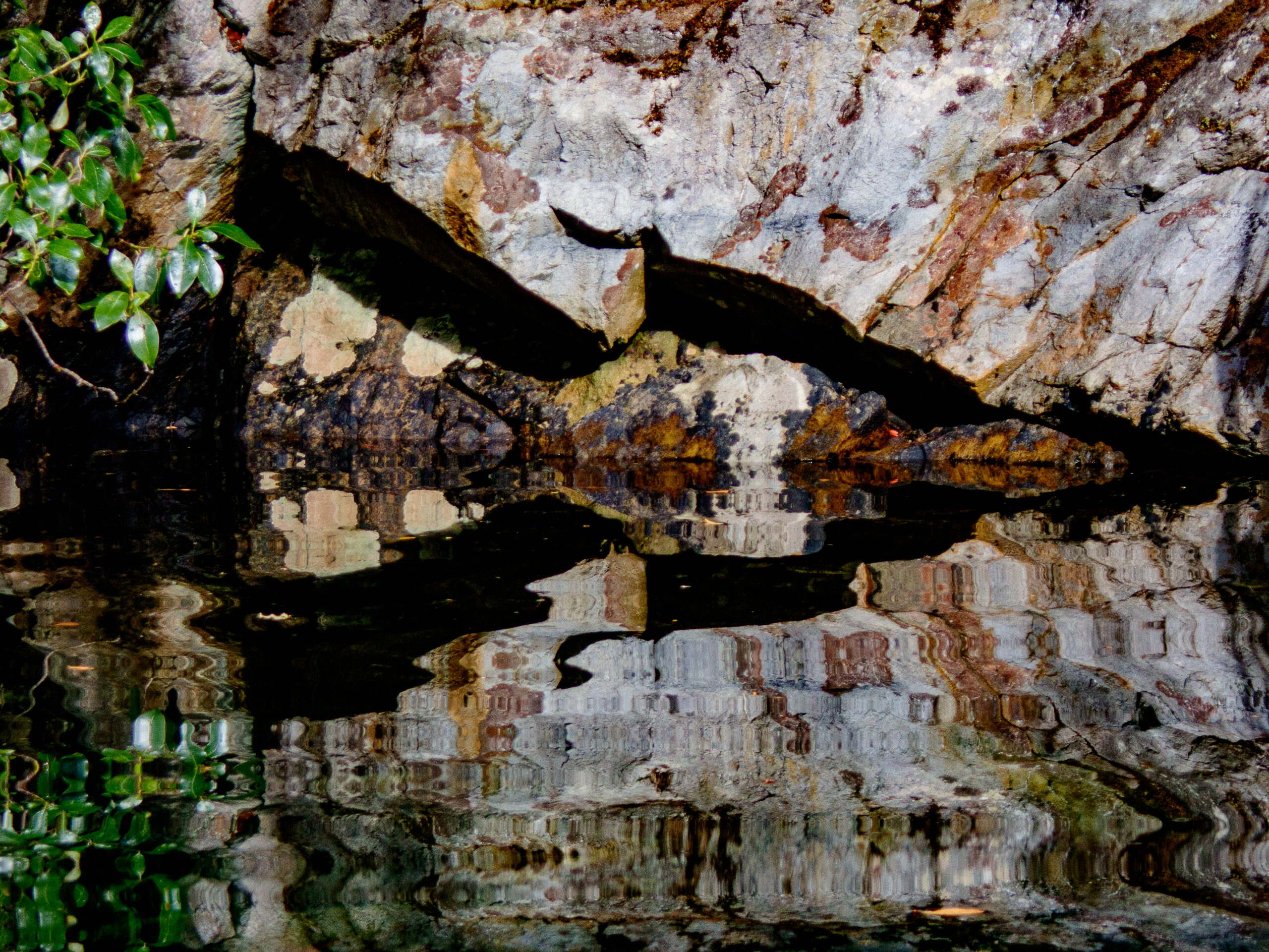
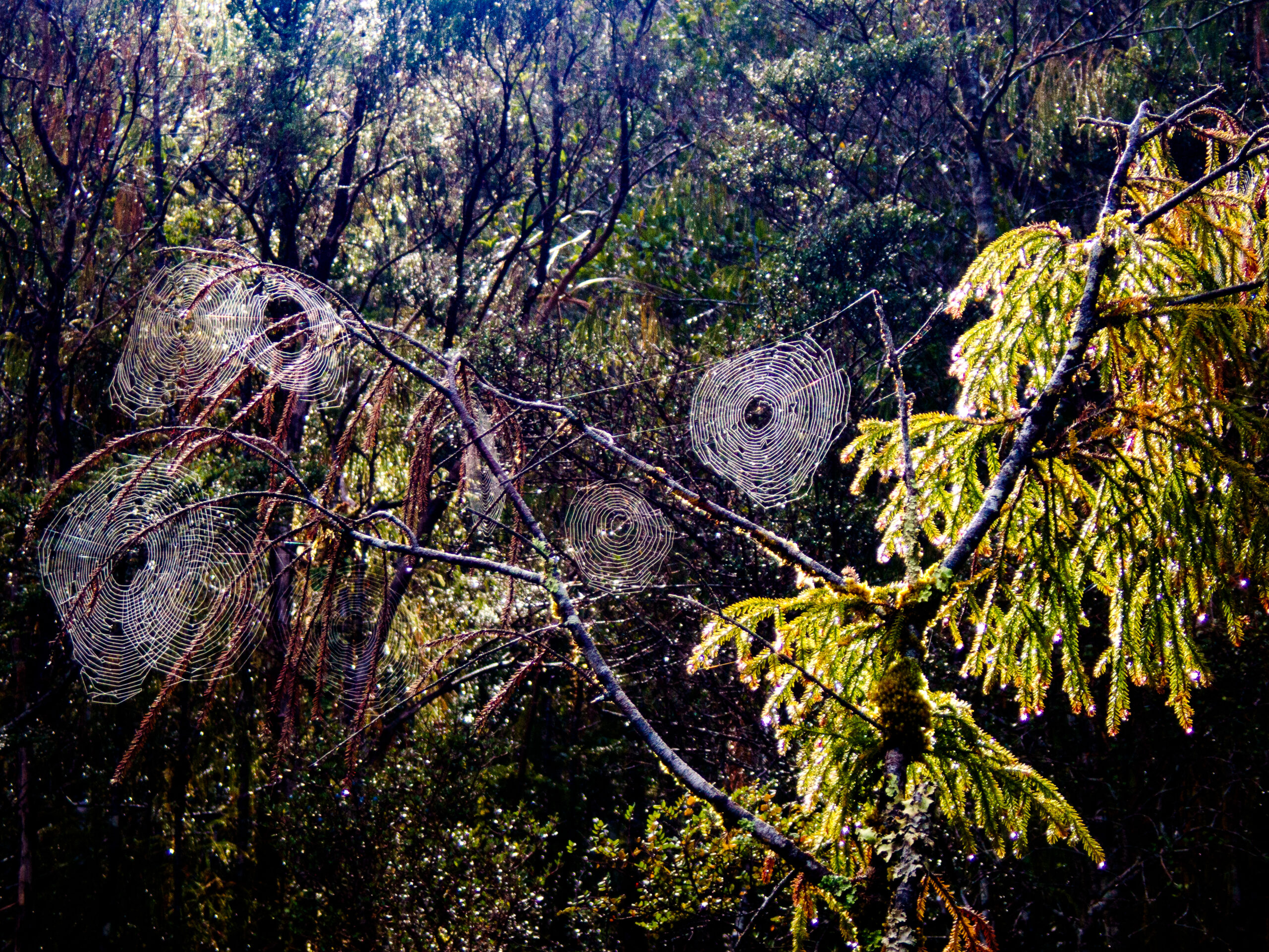
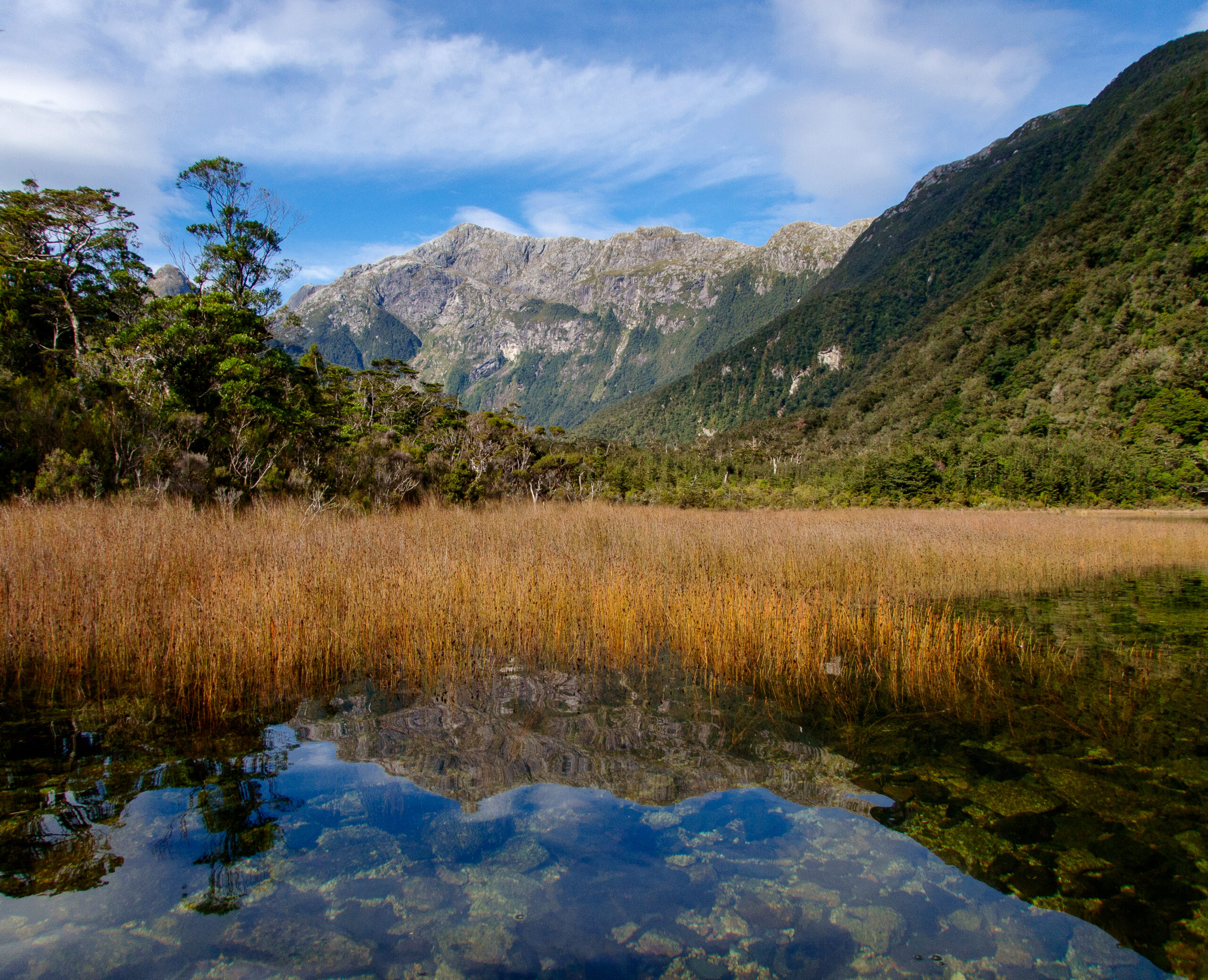
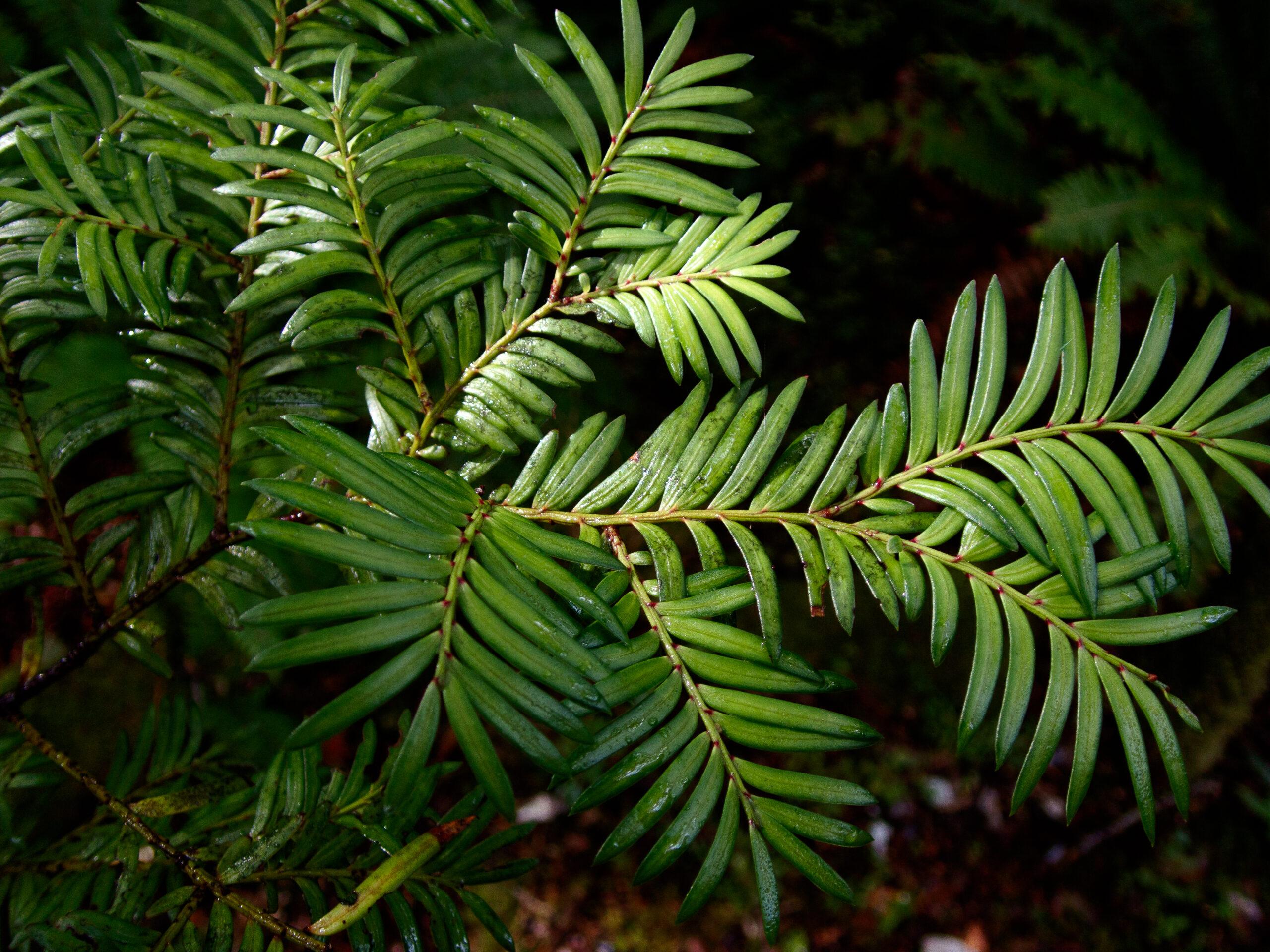

Seaforth River, Dusky Sound
It took us three tries to get the anchor to hold in Shark Cove. Communication from bow (Diana) to the helm (Marcus) is always a bit challenging (West Marine sells headsets called “marriage savers”). The view is different, too. We did alright for the first couple of attempted sets, but both got a little impatient and grumpy by the third. It held, and we were finally tied up, but tired and neither of us feeling great about how the teamwork had held up. There’s a lot at stake — sudden weather switches, unpredictable williwaws make it crucial to get this right. Every couple of days we get another chance to see if we can improve on our mutual desire to work together.
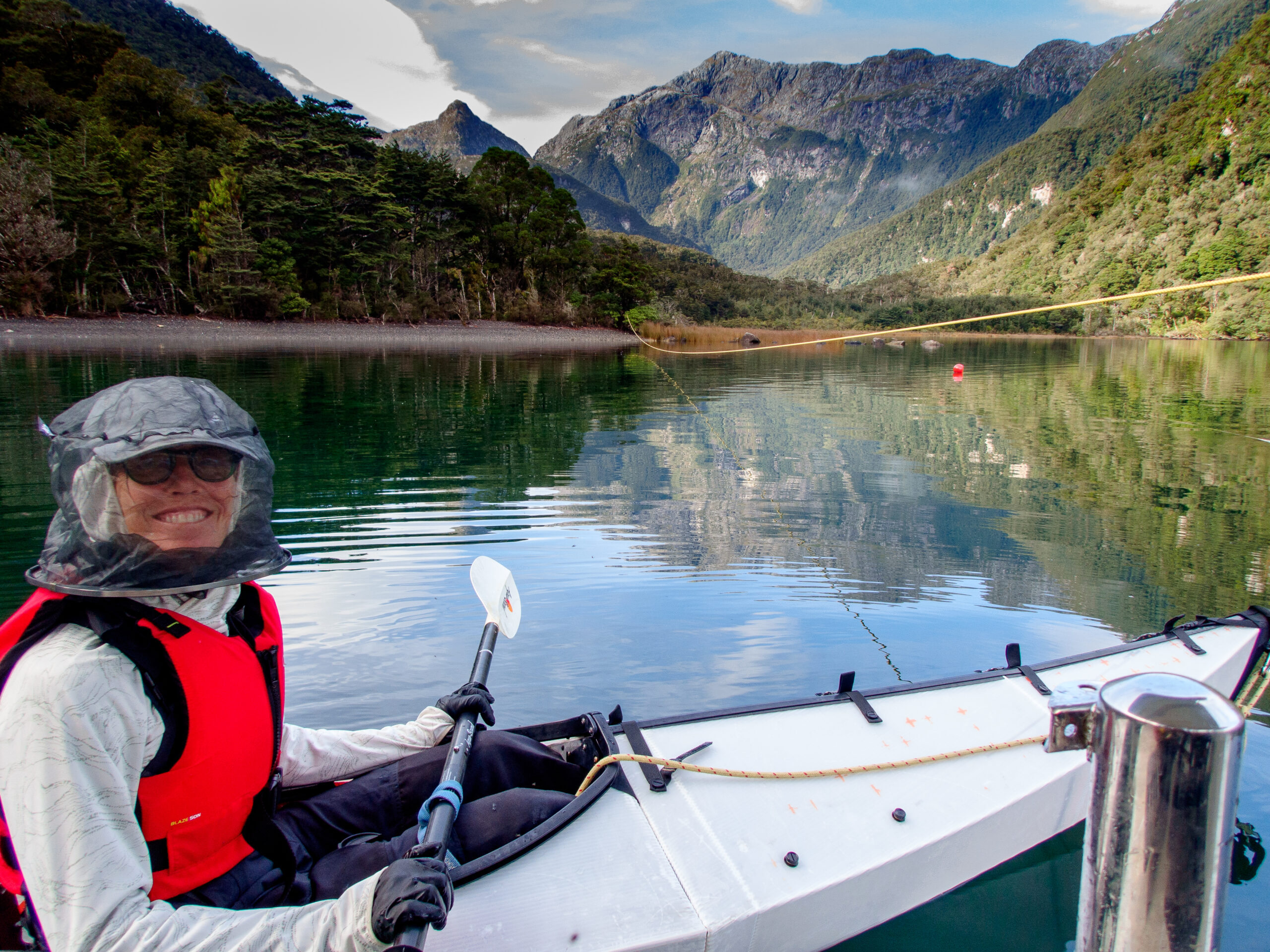
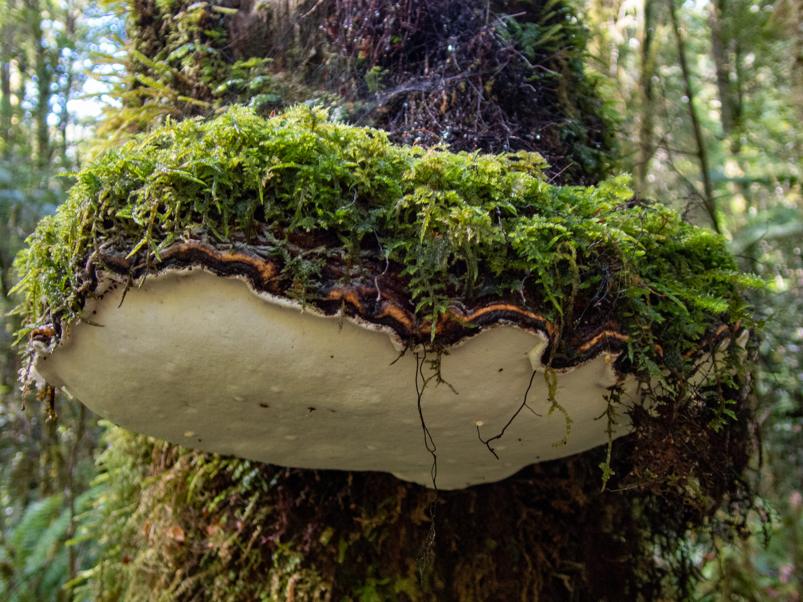
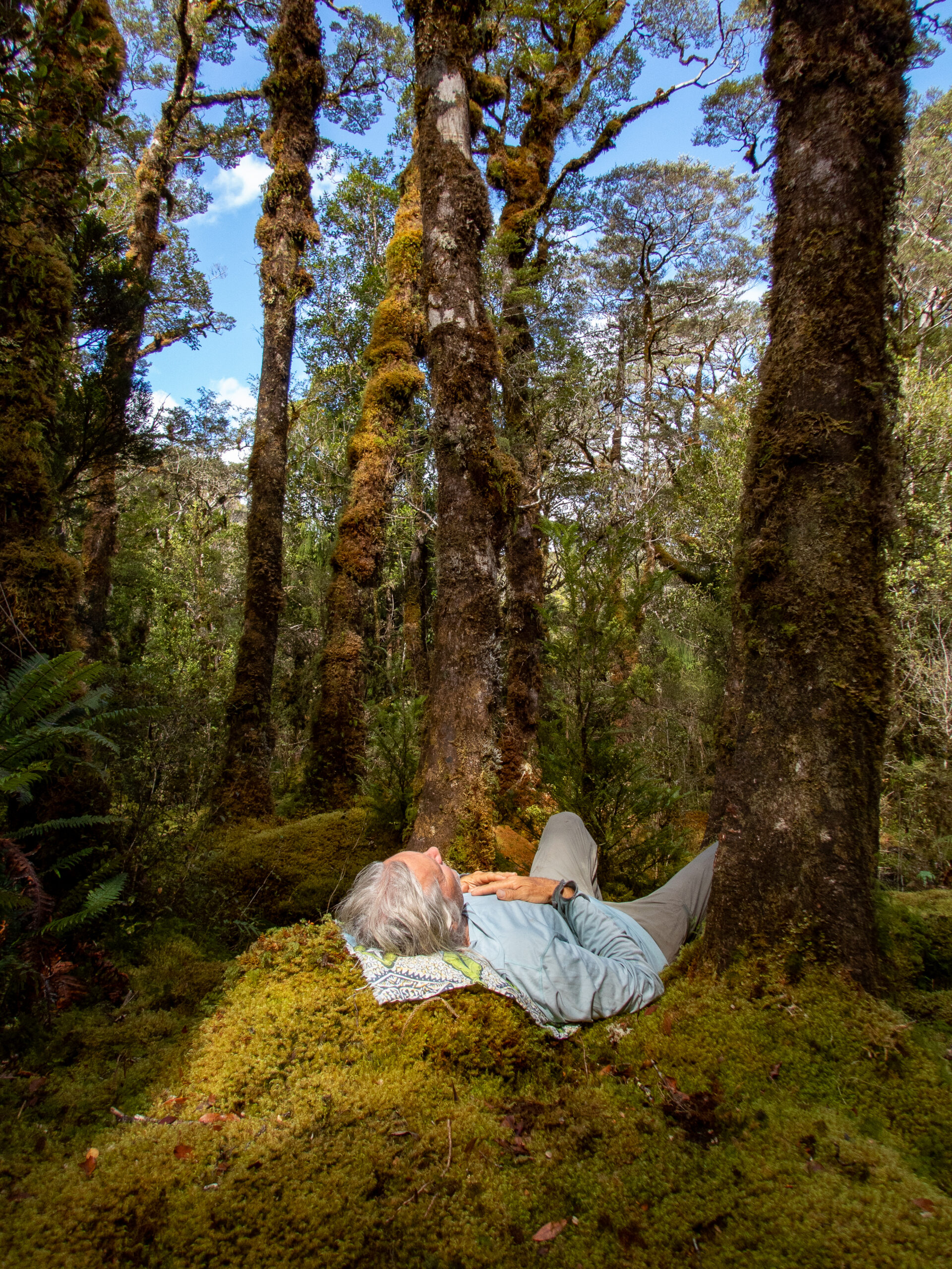
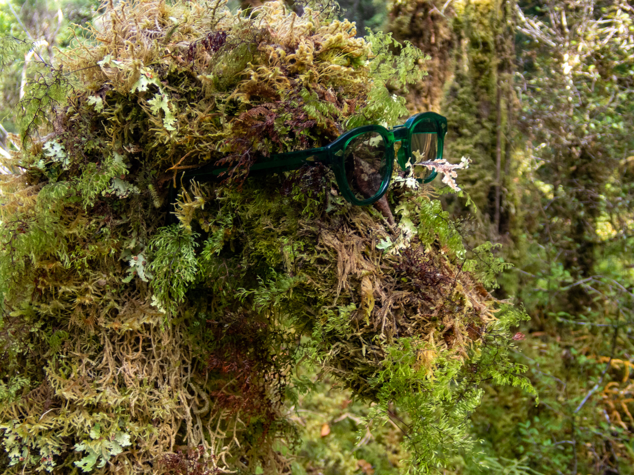
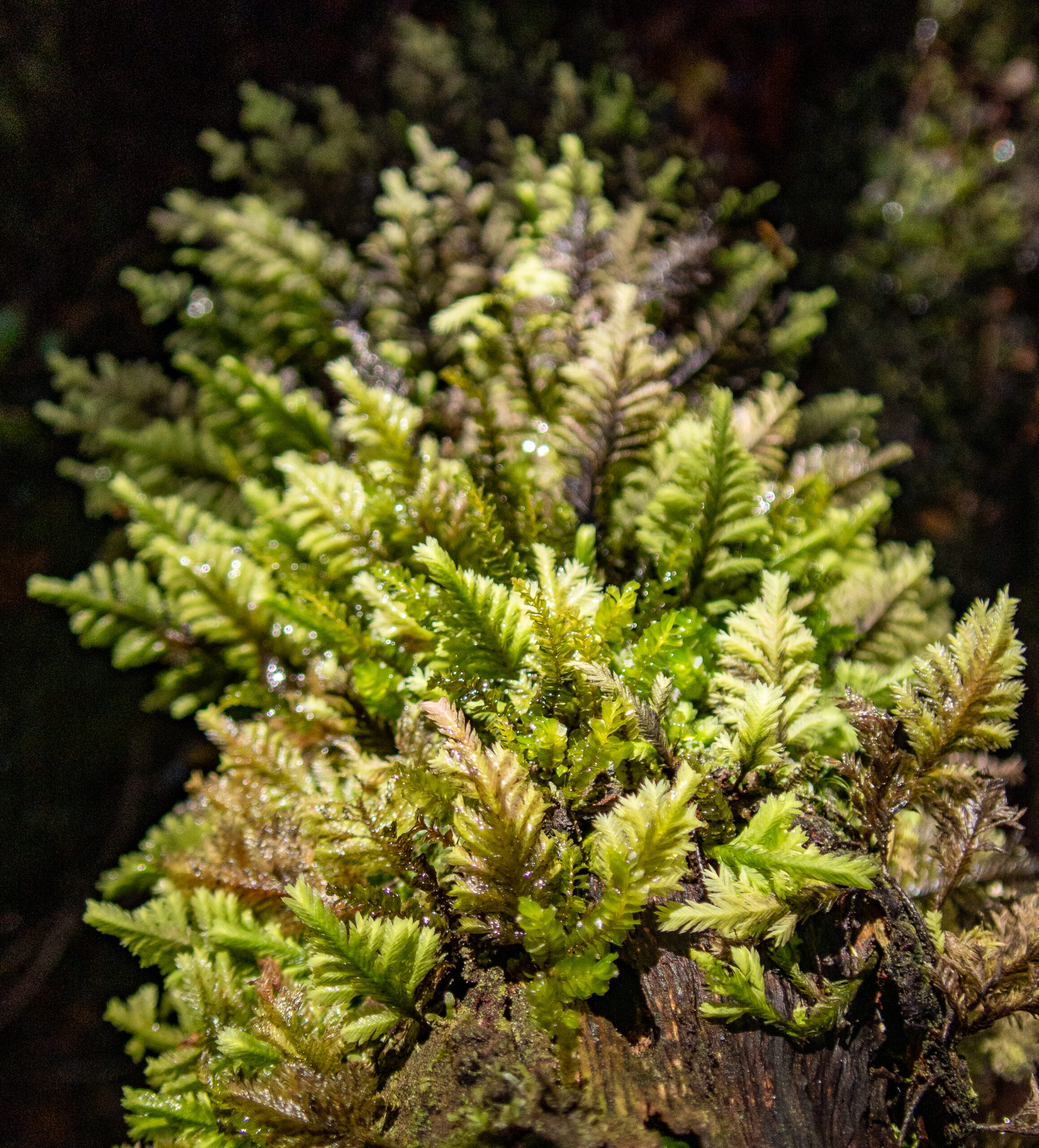
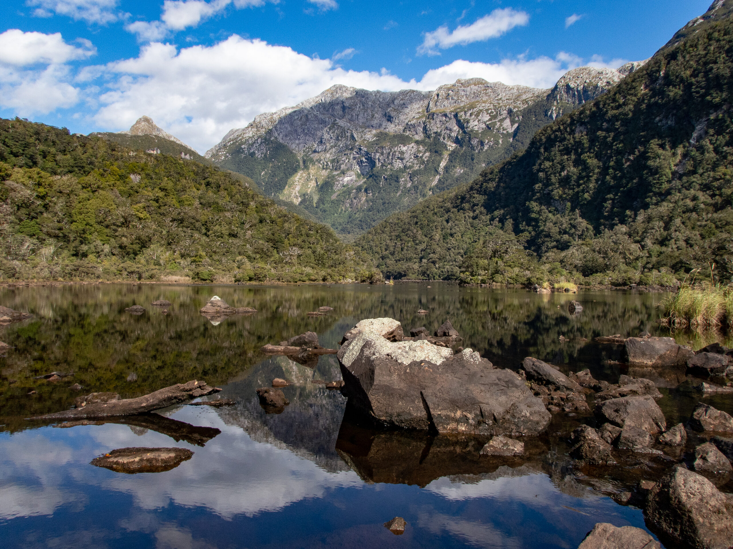
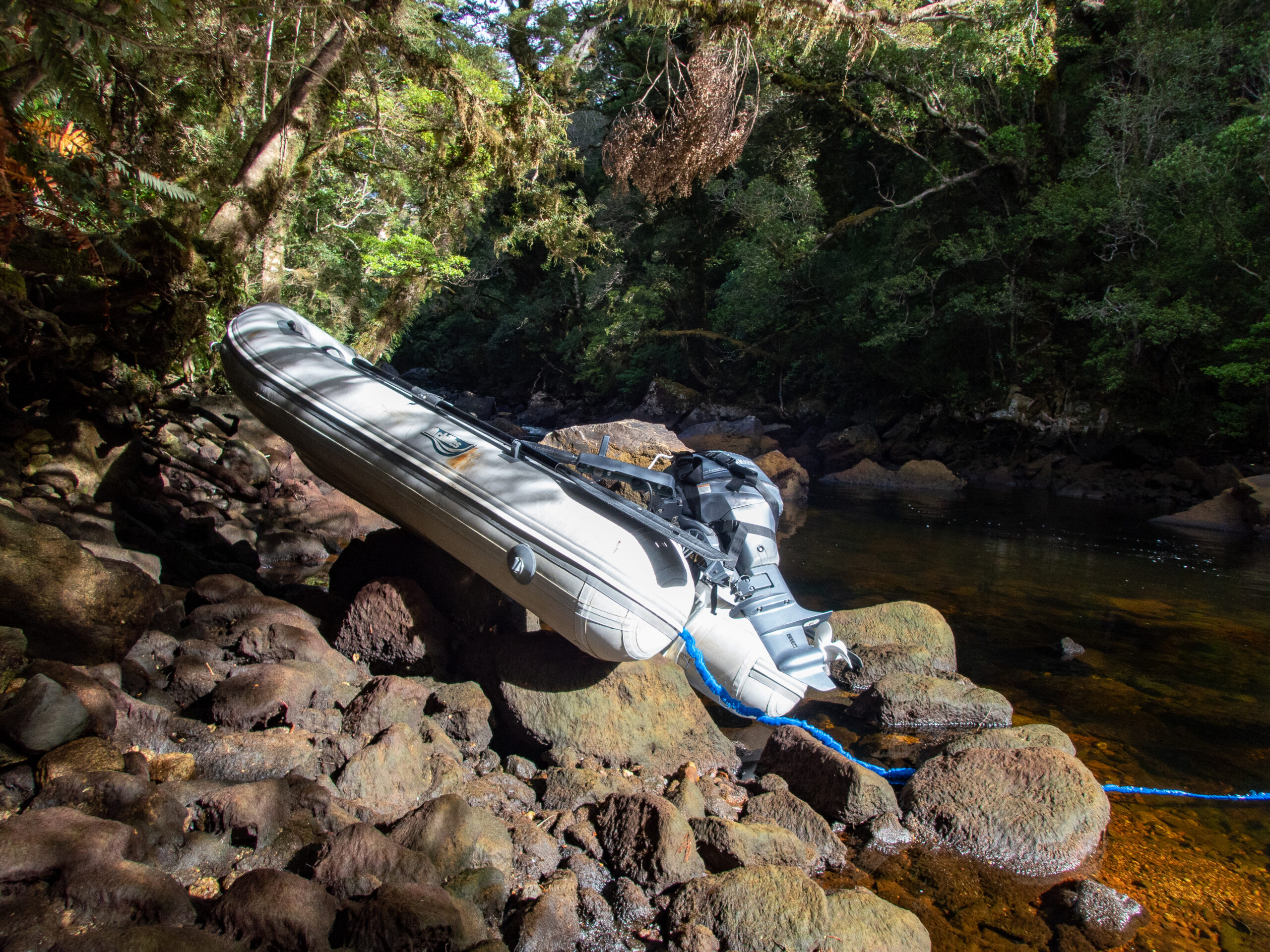
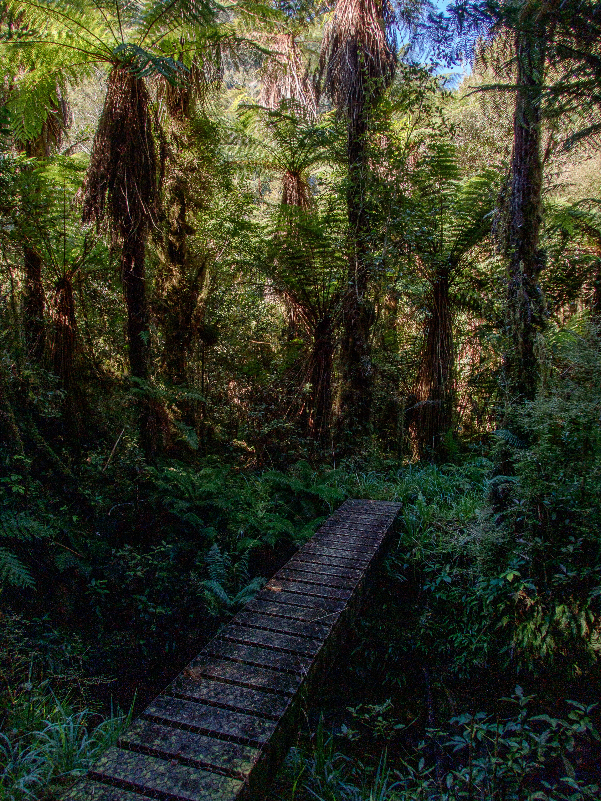
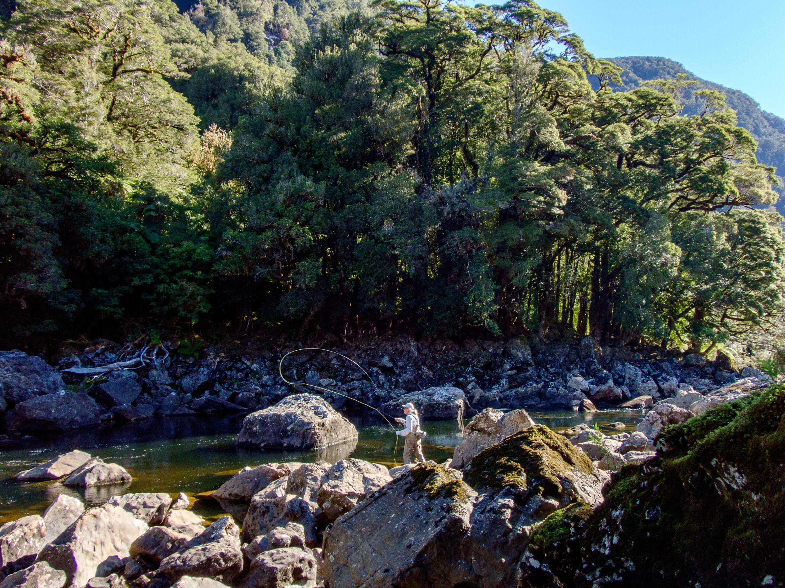
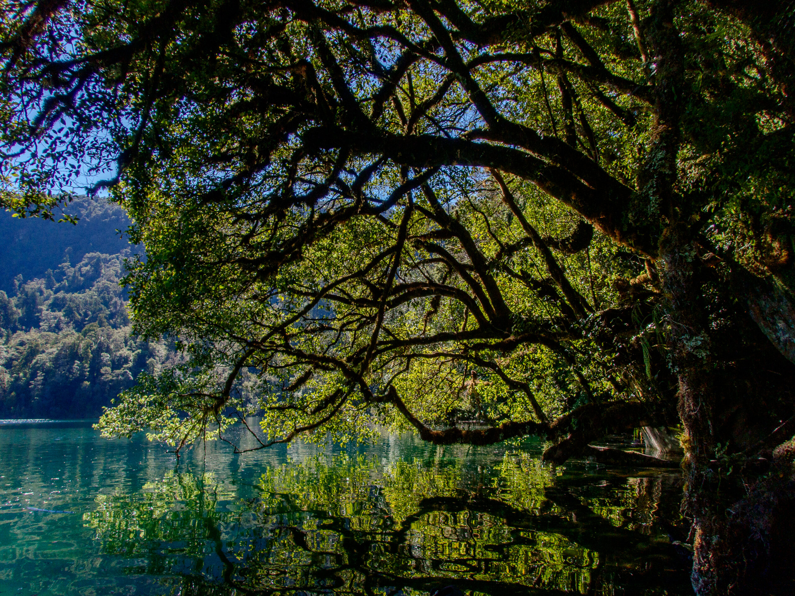
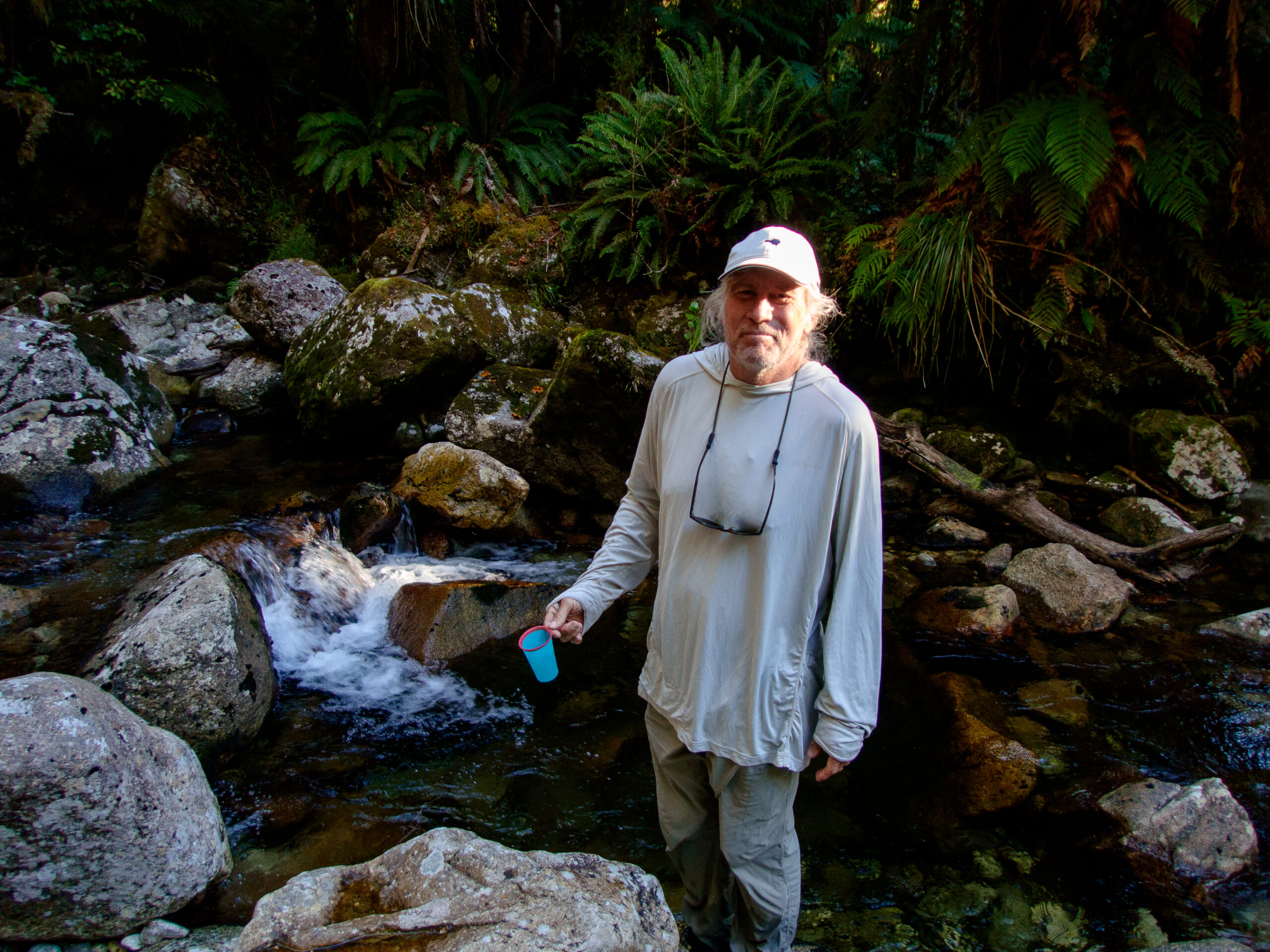
We got a little of a late start for the longish dinghy ride over to Supper Cove where the Seaforth River enters the Sound. It’s reported to hold brown trout! The Dusky trail slopes along the banks, through mud puddles and a podocarp forest of magnificent rimu, kahikatea, miro, mataī and tōtara trees. The river tumbles off some boulders and then flattens like a lake for several kilometers. Tea stained with tannins, spotting fish (the only way to fish in New Zealand) was tough. Ultimately we didn’t see any, though a few rocks got some very intense attention.~MS 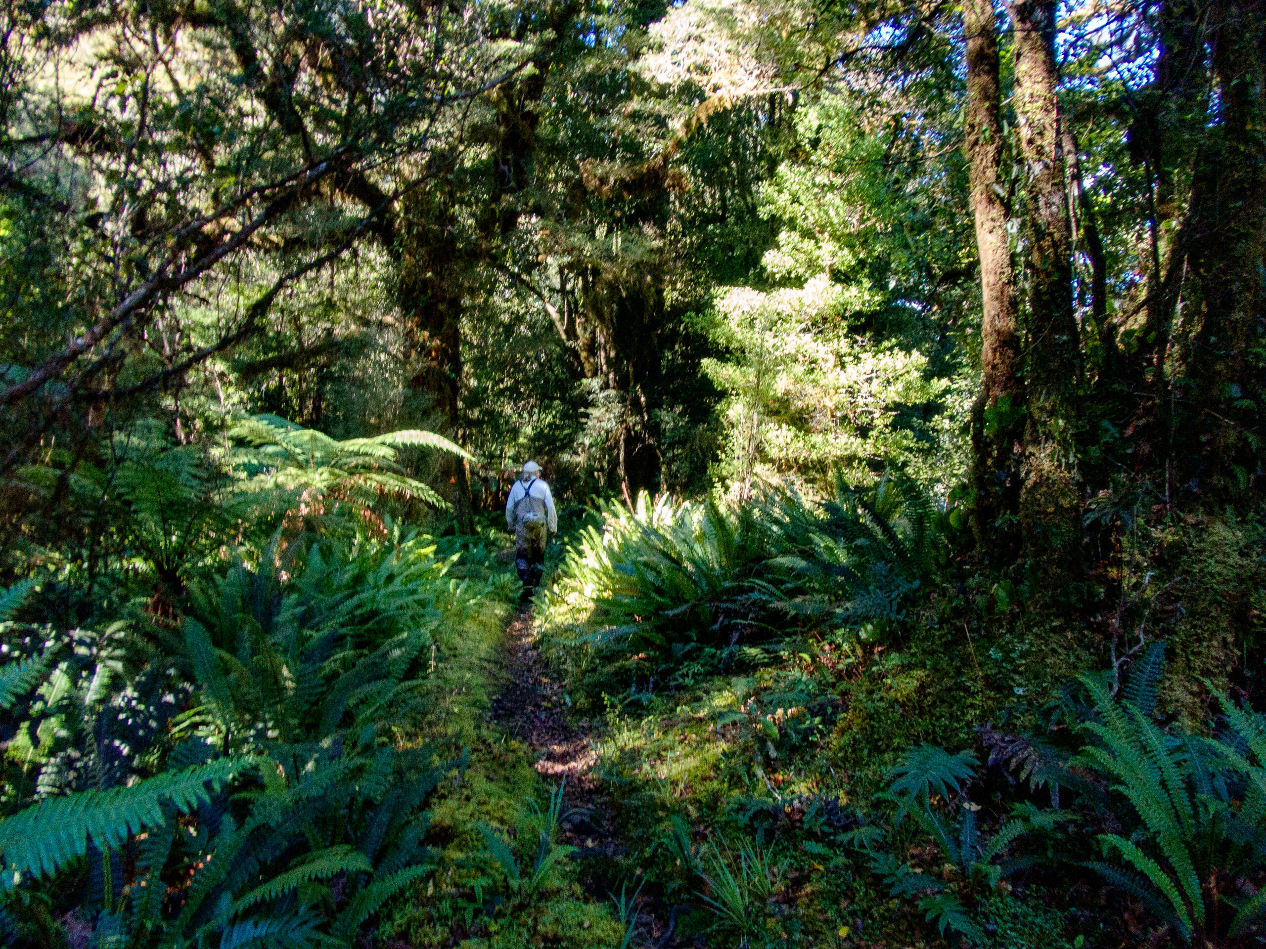 We took Namo over to the next bay, Supper Cove, to be able to hike on the Dusky Track. It’s an advanced tramper track – 84km one way, but we just did 6km and found it muddy but heavenly (not bushwhacking).
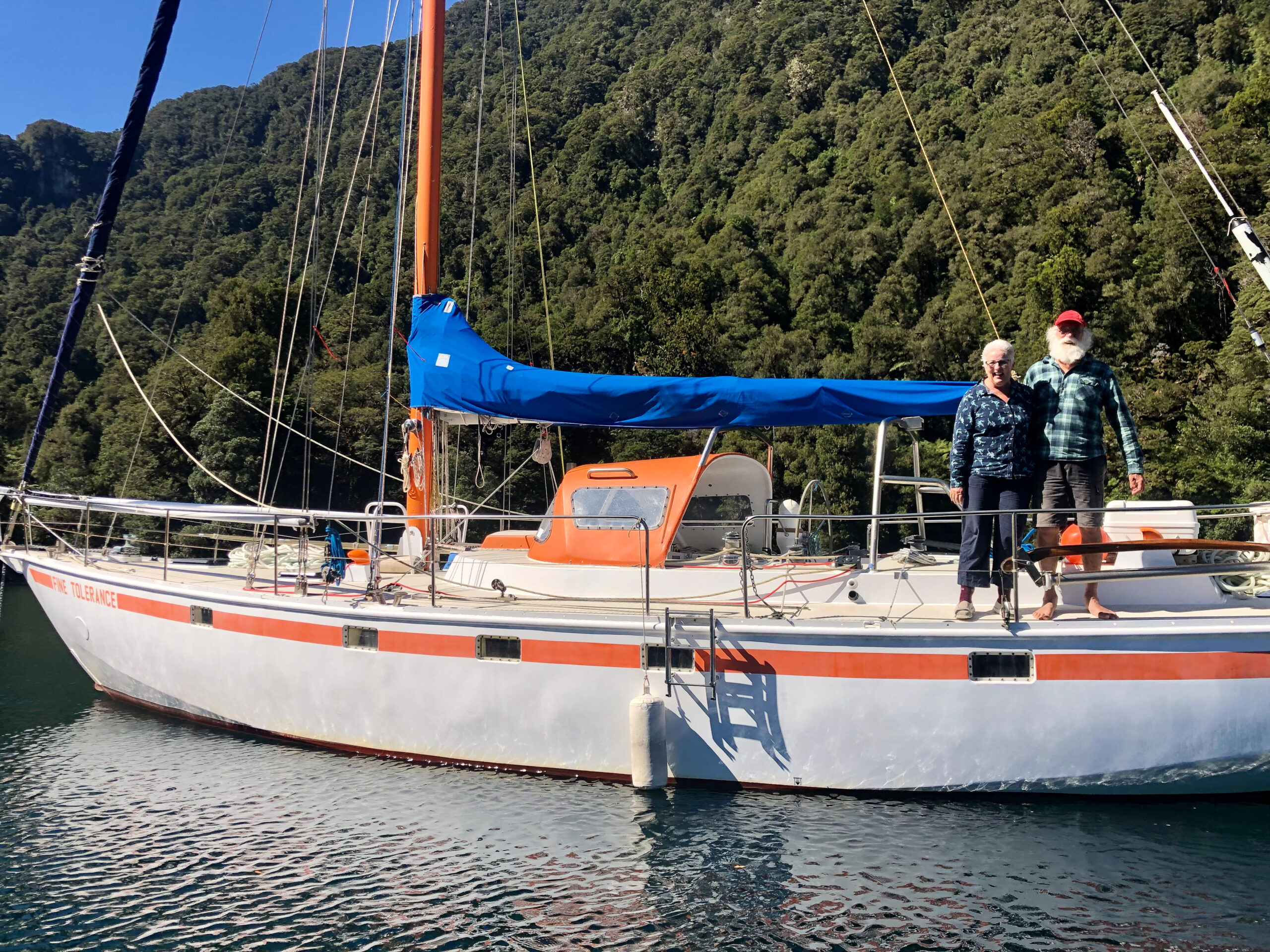
While Wet Jacket Arm and Breaksea Sound are still part of the Dusky/Tamatea Complex, I’ve broken them up, if for no other reason than my own sanity, so I can feel a sense of progression, ha! ~DS
