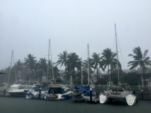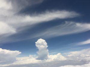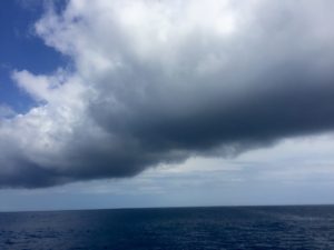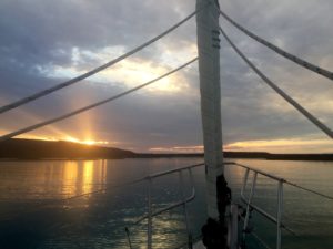
Tropical storm “Frank,” was our first brush with a named storm (The Eastern Pacific has the proud honor of starting using male names, in 1978)
Hurricane Diana hit the East Coast September 10, 1984
65.5 million dollars in damages,
ended her reign of terror as an extratropical storm in Nova Scotia
nothing surprising there
the infinitely wise google also tells us,
no Hurricane Marcus,
but a winter storm, 2015, 24 inches of snow in Boston
otherwise it’s a collection of faceted crystal bowls
not sure, but I feel less powerful
Tropical storm Frank, was named the day that we were sailing towards it from Baja
the US weather predictors had poo poo’d his chances of getting that “organized”
the europeans were more certain,
in any case he moved A LOT faster than anyone predicted
we dodged some thunderstorms off the tip of Baja the first night
but were ambushed the second
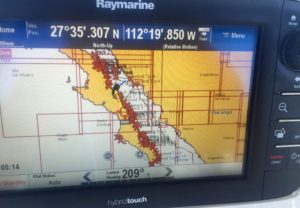
at one moment the radar tracking system had each cell converging on our position
running to hide was not an option
hoping that the thundering bully’s were really moving some version of West
we turned east, directly into the closest one
We abandoned our attempts to run and turned to face our oppressor,
I think we’ll get more used to this,
but our first squall and lightning storm made an impression
the first part was the suddenness with which chaos can remind you who’s boss
Glued to the radar screen, we knew we should be looking into the real darkness
ludicrous McHale’s Navy buckets of rain being tossed in our faces
preposterously overdone non stop lightning effects
Diana stuffed electronics in Faraday bags into the oven
(as you do)
and we tried to calculate the odds of being struck
and struggled to remember that the most important thing was too keep Allora sailing
and she handled it like the champ she is
in a long hour and a half, it was finally over
but our thoughts about what had happened only just began to settle in
There was no getting around that we’d have to run the gauntlet again the next night –
approaching Banderas Bay to get to the harbor with the high tide at noonish
That’s when Frank got named
moving northwest, not simply west out to sea like his predecessors
When forecasters get part of it wrong
it’s hard to be reassured by the new forecasts,
which promised we’d never be closer than 400 miles
late in the afternoon, sunset, we slowly passed the interminable Magdelena Islands
prisoners of these prison island, required to stay away 20 miles,
bands of cumulous clouds reached up beautifully from the south southeast
and then the engine just stopped… a long beep and it quit running.
Fortunately we had enough wind to sail
I bled it, I primed it, I checked the oil and we sailed for a while in case it just needed a rest
we weren’t too off course, the prison island zone would just have to allow us a little wiggle room
at the furtherest southeast edge, we watched the familiar anvil of a building thuderstorm
It wasn’t showing up on the radar yet, so more than 48 miles,
but it sure looked like it was going to cut us off from Bahia Banderas,
We needed to head east, not south, despite the 20 miles exclusion zone
I emailed asking the weather routers who sent email updates via sattelite
to confirm what we were seeing plain as day
hoping from their satellite perch they could offer some advice
“There are thunderstorm cells that are expanding closer to your position in feeder bands around the developing TS Frank. I cannot tell you that they will not expand closer to your position. The tropical storm is moving off to the NW but it is intensifying. Maybe it is best to hold where you are and let Frank go by then head toward Banderas tomorrow.”
I started to reply with “Wow!” then deleted that
and just asked for confirmation of what I could plainly see
no way to tell how far away the cell was, but I could see its direction
there was no way to talk myself out of the observable fact
there was already a big storm cell covering the entrance to Banderas Bay
The feeder bands definitely were expanding in our direction
they had already cut us off.
“Hold where you are?”
That’s an odd concept in a floating boat on a moving sea!
The wind was too light to sail anywhere
there was no reachable, safe anchorage or harbor,
we were blocked by the island of criminals to our east,
we didn’t have enough fuel to turn north around the islands and
Frank was barreling faster than predicted to our southeast.
Anything with west in it would be a bad idea indeed
southeast meant sailing into the edge of our first tropical storm
our options were remarkably stark
we can only move at 9 miles an hour max
and were worried about how much fuel we had
and whether the engine would fail again
The only thing I could come up with was to head into the exclusion zone
and wait to have a conversation with the Mexican Navy on the VHF if it came to that
then we could go hide on the east side of the islands, and do our best
to dodge the bright yellow, capricious storm cells sure pop up on radar as soon as it got dark
Diana’s response was remarkably calm –
we hadn’t received any more info from the weather router
I knew when I sent my last lame, hopeless query, that they were closed for the night
Diana had the obvious idea to call the Marina to ask what they could see
“Frank is headed for La Paz,” she said.
Then the weather router sent an after hours message which included Franks’ current position
and the location of the storm cells I’d been asking about.
He suggested that after midnight was the time to “make a strong move for PV”
So east southeast, as close to the prison islands as we dared,
and then see what the storm cells looked like
We were really beginning to feel the swell from Frank,
The huge rollers were like big long valleys, we’d drop slowly in the rise like a hot air balloon.
From last night’s squall we had a few ideas of how to get Allora prepared
we set up the removable forestay in case we needed the storm jib,
if the engine failed we had to be able to maneuver in a squall
we stowed things below, we battened the hatches
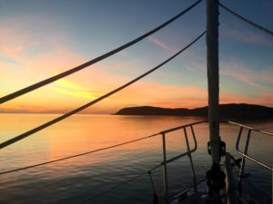
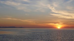
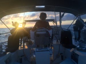
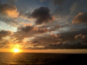
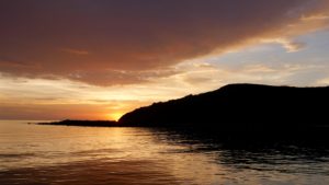
took pictures of the gorgeous sunset only a tropical storm can generate
and when it got dark, I went below to sleep and Diana turned on the radar.
After an hour I came up for much needed oxygen (steamy down below with all hatches closed).
Diana was tracking a big storm cell to our southeast
we could see the lightning, but it wasn’t anything like the mad fireworks of the night before –
not yet anyway.
We took turns napping in the cockpit, and “foondling” (Maddi’s word for nodding off on watch)
The wind had come up, but it was right on our nose,
to sail we either had to get yet closer to the prison island
(already ten miles and still nothing on the VHF)
or worse, tack southwest straight at Frank.
This is when having an engine for auxiliary power does not feel like a luxury.
Between the wind wave and the tropical storm swell, we were rocking and rolling
buzzing along, praying the engine kept going
the storm cell stayed off to our starboard, nothing popped up in our way
the seas decreased incrementally as we neared the Bay at 03:00
We passed a well known rock hazard at the entrance
and we had our previous tracks to follow the shallow passage on the northeast side of the bay
Diana started counting the stutters in the engine’s hum
we cleared the waypoint just two miles out
and then at the same place where we called for a tow back in April
seriously
‘BEEP,’ and the engine quit again!
Barely enough wind to sail, but thankfully no storm cells
at least we were in the bay,
at least we could sail to the anchorage if the wind didn’t die
as we tacked our way (the closest anchorage, as always, directly to windward)
I bled, I primed, I prayed.
The engine started roughly,
then died,
we kept sailing
Funny how events look once they’ve occurred
it’s easy to forget that before they did what they did
they could easily have unfolded many radically different ways
In fact, perhaps it’s true that it’s more likely that they should have
But maybe Cabo Corrientes does protect Banderas Bay as history seems to suggest
deflecting those storms and their feeder bands
more fuel, leave later, leave earlier
more wind, less wind
no exclusion zone and off limits island havens
so many variables
the sea makes us aware of the flux of events
fluid vortices of what-ifs
the engine did restart, we sailed and then took the sails down
keeping them ready to deploy at a moments notice
and in the dark, confounded by the lights of shore
found a place to drop anchor
and finally get some sleep. – MS
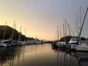
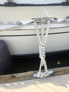
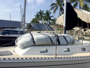
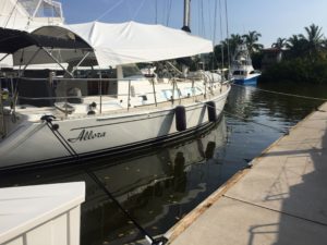
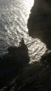
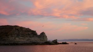
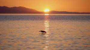
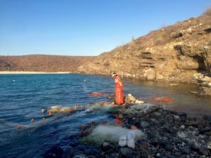
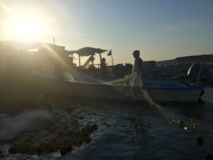
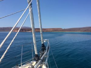
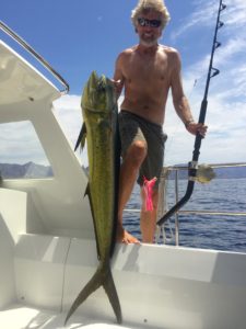
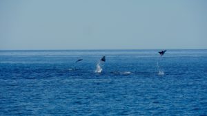
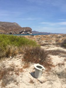
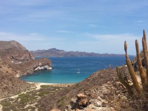
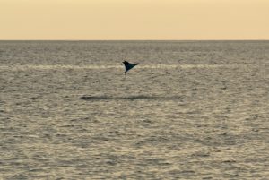
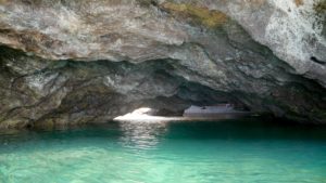
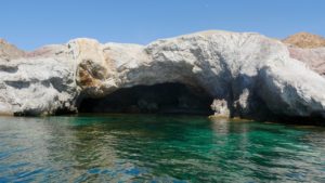
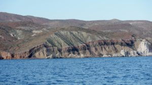
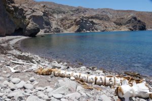
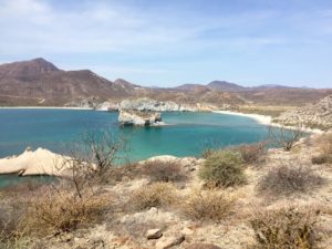
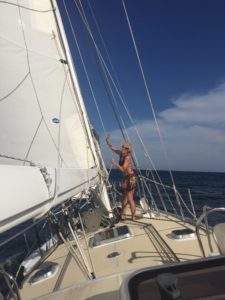
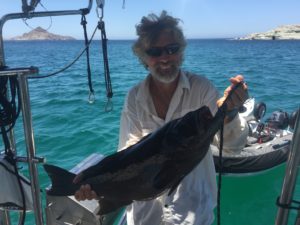
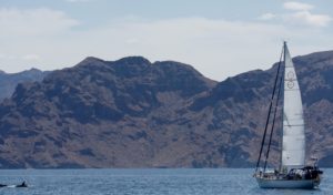
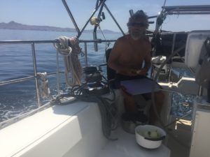
No ‘Frank’ pics, as we were too busy scrambling, but here are plenty more from our last days in Baja:
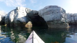
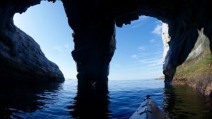
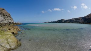
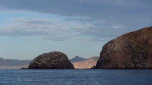
This morning at Isla Animas, by Salsipuedes, I’ve been trying to find a comfortable place to sit to write. We’re so used to the southern summer flow (as we took for granted the north winter winds) but today there is a northwest swell making our little anchorage a bit dubious. With the swing on our anchor and the six to eight foot drop in the tide we have just 6 feet under the keel. We’ll probably have to move across the pass, swinging wide to avoid any pinnacle rocks.
Looking across the soft roll of waves, it’s easy to forget that the underwater landscape should match the jagged mountainous terrain above the sea. We’ll listen to the weather and see if there are big trends that suggest this uncomfortable swell and NW wind will last, and then move if we have to. The pass between the islands, which one book says is possible to sail through and one does not, roils like a river. There is so much water trying to move across with the tide that boils s from hundred foot depths. It’s a great fishing spot, but every once in a while I’m spooked by a rock looming under the surface, an eerie, vertigo. We are floating over mountains. – MS
There is one knows not what sweet mystery about this sea, whose gently awful stirrings seem to speak of some hidden soul beneath. – H. Melville
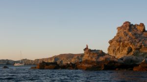
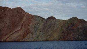
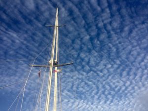
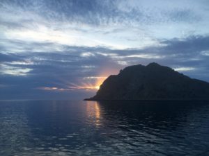

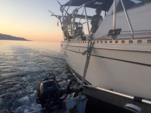
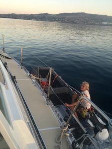
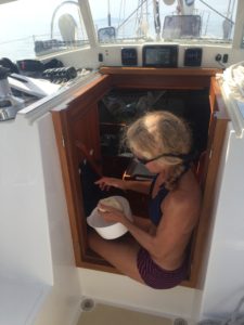
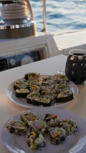
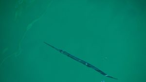
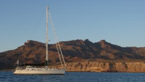
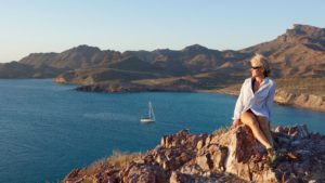
The earth unsphered and laid out,
is 196.9 million square miles
how much room do we get to share?
.028 square miles per person (including the really cold places like antarctica)
so we have to be thankful,
to sail on the two thirds that most would deduct from their calculations
lucky to find we have tens of square miles, sometimes hundreds
completely to ourselves. – MS
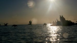
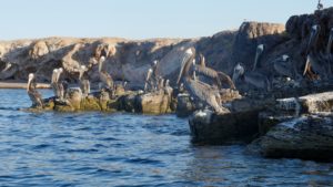
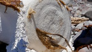
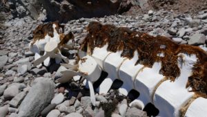
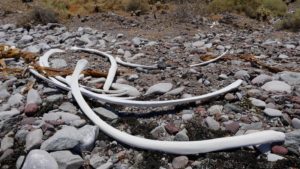
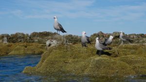
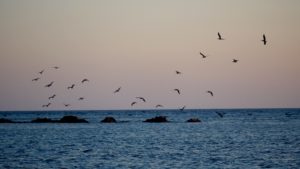
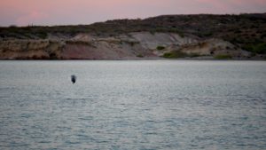
Heermann’s Gulls
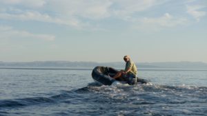
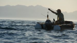
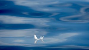
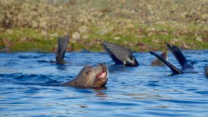
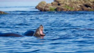
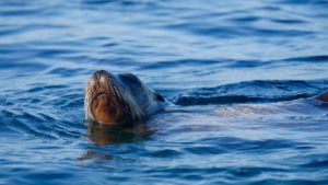
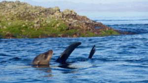
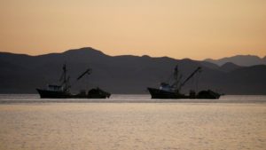
It’s obvious but unavoidable to comment on our specie’s disconnect from the natural world — typing/clicking away at abstractions, artificial crisis and made up stories, while it gets harder and harder for sea lions to eat. No wonder they make such a racket. So curious. Hoping, in their foolishly optimistic, clowny way, that we might be the emissaries, the people who will finally take their raucous message back to the smoking noisy city. They don’t know anything about sirens and air horns and the rumble of a million cars. They naively expect to be heard. After all, what in their world, is louder than a sea lion? The great leviathans, exhale and move on. The din of civilization seems ominously unthreatening from a distance, like the purr of a shrimper’s diesel engines, chugging and burning that smelly old dinosaur blood, as if to say, “nothing to worry about here, just cleaning up this messy channel, slipping away with a few thousand tons of shrimp.” Cuz the world loves shrimp. Which they must, to eat something that looks like an insect without a second thought — call it a cocktail, an appetizer. – MS
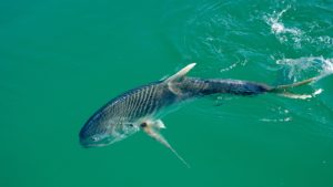
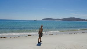
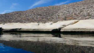
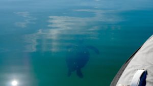
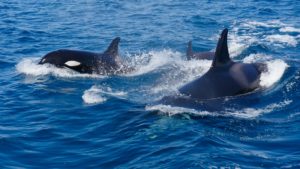
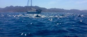
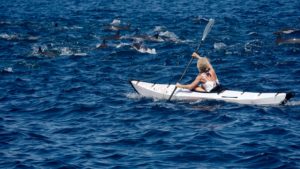
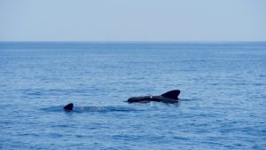
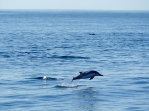
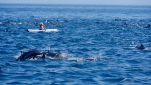
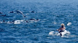
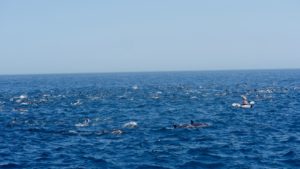
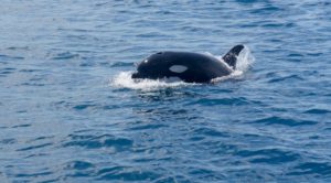
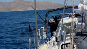
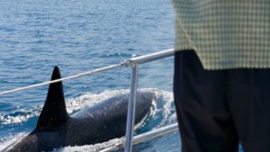
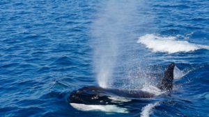
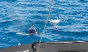
They chased a huge pod of dolphin at top speed (we did our best to keep up) and then they isolated two of them in this cove. After messing with them a bit, they finally made the kill (underwater) and Marcus saw one come up with a bloodied mouth. Tough to witness, but of course, natural.
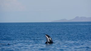
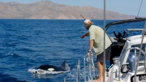
‘who has also by the stillness and seclusion of many long night watches in the remotest of waters, and beneath constellations never seen here at the north, been led to think untraditionally and independently, receiving all nature’s sweet or savage impressions fresh from her own virgin voluntary and confiding breast’ – Melville/Moby Dick
